
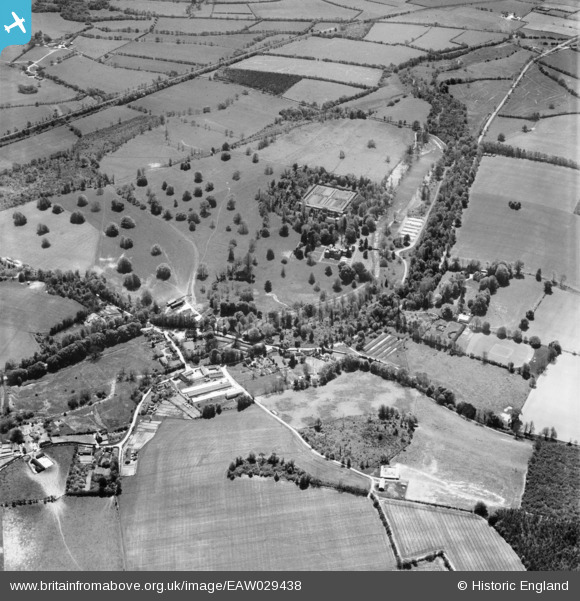
EAW029438 ENGLAND (1950). Warnford Park, Warnford, 1950
© Copyright OpenStreetMap contributors and licensed by the OpenStreetMap Foundation. 2026. Cartography is licensed as CC BY-SA.
Nearby Images (5)
EAW029438

EAW029448

EAW029450

EAW029451

EAW029452

Details
| Title | [EAW029438] Warnford Park, Warnford, 1950 |
| Reference | EAW029438 |
| Date | 12-May-1950 |
| Link | |
| Place name | WARNFORD |
| Parish | WARNFORD |
| District | |
| Country | ENGLAND |
| Easting / Northing | 462284, 122898 |
| Longitude / Latitude | -1.1122569796749, 51.00155538247 |
| National Grid Reference | SU623229 |
