
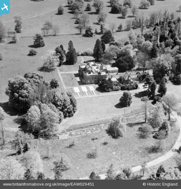
EAW029451 ENGLAND (1950). Warnford Park, Warnford, 1950
© Copyright OpenStreetMap contributors and licensed by the OpenStreetMap Foundation. 2026. Cartography is licensed as CC BY-SA.
Nearby Images (5)
EAW029451

EAW029452

EAW029448

EAW029450

EAW029438

Details
| Title | [EAW029451] Warnford Park, Warnford, 1950 |
| Reference | EAW029451 |
| Date | 12-May-1950 |
| Link | |
| Place name | WARNFORD |
| Parish | WARNFORD |
| District | |
| Country | ENGLAND |
| Easting / Northing | 462196, 122796 |
| Longitude / Latitude | -1.1135285758849, 51.000647700867 |
| National Grid Reference | SU622228 |
Pins

Vauni |
Monday 14th of July 2014 09:04:57 AM | |
|
James Chandler |
Wednesday 12th of February 2014 07:42:55 PM |