
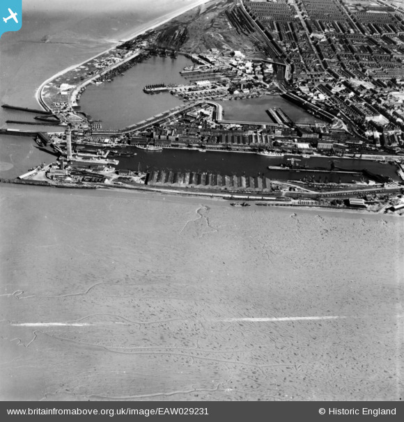
EAW029231 ENGLAND (1950). The Docks, Grimsby, 1950. This image has been produced from a print marked by Aerofilms Ltd for photo editing.
© Copyright OpenStreetMap contributors and licensed by the OpenStreetMap Foundation. 2026. Cartography is licensed as CC BY-SA.
Nearby Images (8)
EAW029231

EAW029015

EAW029078

EAW029070

EAW029011

EAW029012

EAW029071

EAW029236A

Details
| Title | [EAW029231] The Docks, Grimsby, 1950. This image has been produced from a print marked by Aerofilms Ltd for photo editing. |
| Reference | EAW029231 |
| Date | 10-May-1950 |
| Link | |
| Place name | GRIMSBY |
| Parish | |
| District | |
| Country | ENGLAND |
| Easting / Northing | 527534, 411119 |
| Longitude / Latitude | -0.073391825006739, 53.580892020806 |
| National Grid Reference | TA275111 |
Pins

Matt Aldred edob.mattaldred.com |
Saturday 27th of February 2021 11:35:51 AM | |

redmist |
Wednesday 31st of October 2018 09:42:31 PM |
User Comment Contributions
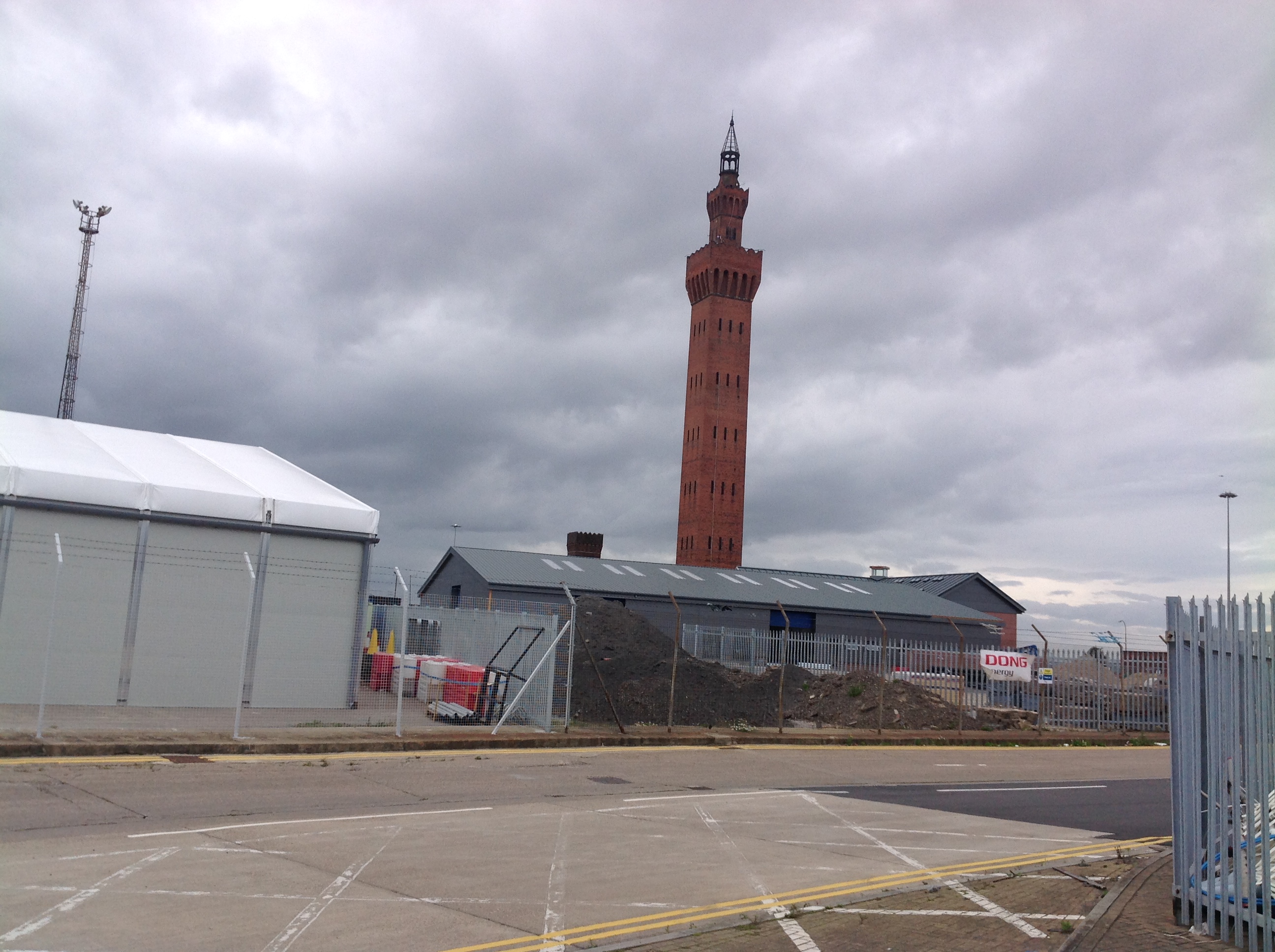
The Dock Tower, Grimsby, 29/08/2014 |

Class31 |
Wednesday 15th of October 2014 05:08:59 PM |