
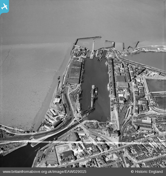
EAW029015 ENGLAND (1950). The Royal Dock, Grimsby, 1950. This image was marked by Aerofilms Ltd for photo editing.
© Copyright OpenStreetMap contributors and licensed by the OpenStreetMap Foundation. 2026. Cartography is licensed as CC BY-SA.
Nearby Images (7)
EAW029015

EAW029012

EAW029076

EAW029011

EAW029231

EAW029078

EAW029069

Details
| Title | [EAW029015] The Royal Dock, Grimsby, 1950. This image was marked by Aerofilms Ltd for photo editing. |
| Reference | EAW029015 |
| Date | 10-May-1950 |
| Link | |
| Place name | GRIMSBY |
| Parish | |
| District | |
| Country | ENGLAND |
| Easting / Northing | 527595, 410941 |
| Longitude / Latitude | -0.07254366685699, 53.579277985991 |
| National Grid Reference | TA276109 |
