
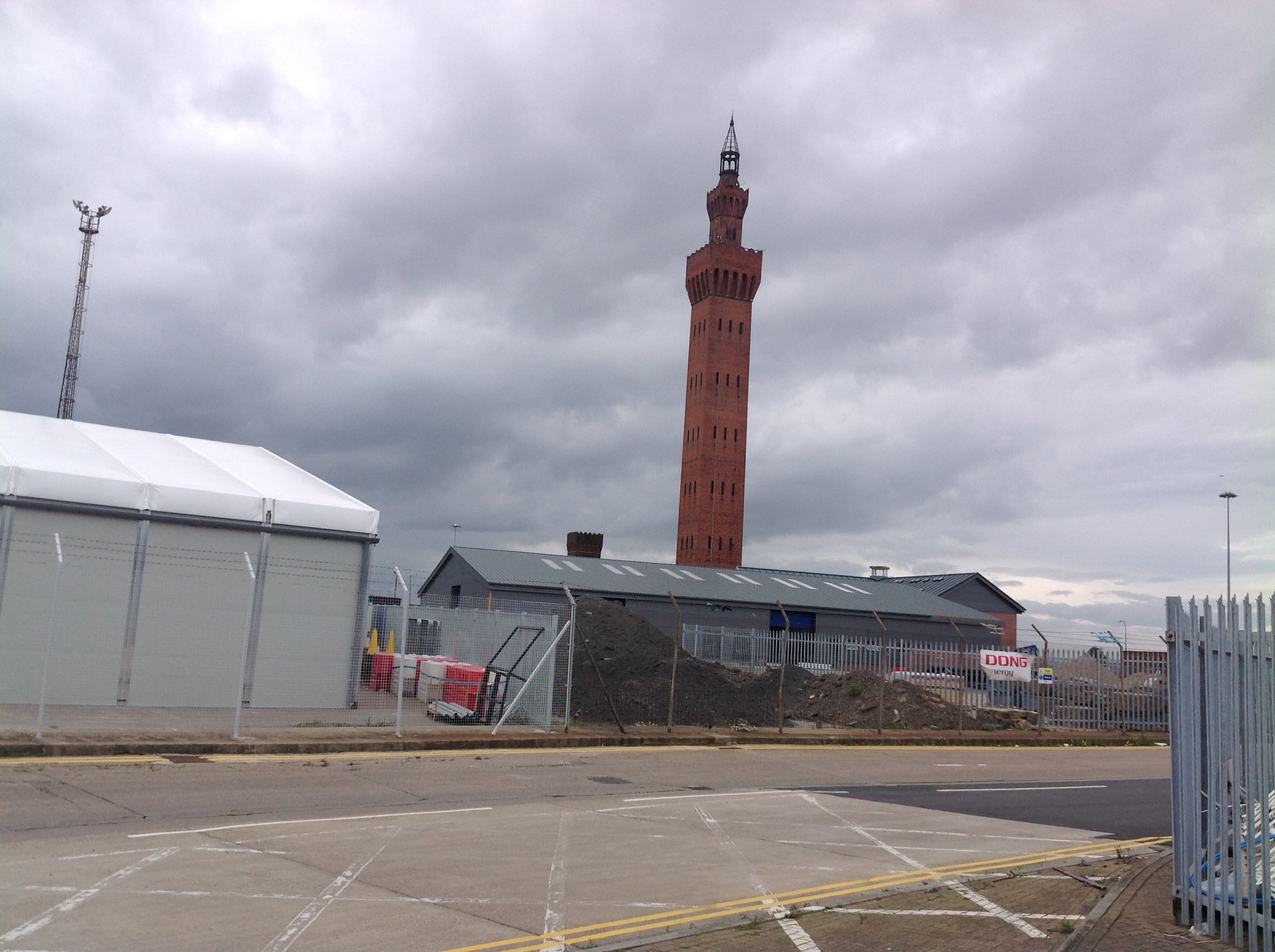
EAW029069 ENGLAND (1950). The Royal Dock and Fish Docks, Grimsby, 1950. This image was marked by Aerofilms Ltd for photo editing.

© Copyright OpenStreetMap contributors and licensed by the OpenStreetMap Foundation. 2026. Cartography is licensed as CC BY-SA.
Nearby Images (5)
EAW029069

EPW053393

EAW029076

EAW029012

EAW029015

Details
| Title | [EAW029069] The Royal Dock and Fish Docks, Grimsby, 1950. This image was marked by Aerofilms Ltd for photo editing. |
| Reference | EAW029069 |
| Date | 10-May-1950 |
| Link | |
| Place name | GRIMSBY |
| Parish | |
| District | |
| Country | ENGLAND |
| Easting / Northing | 527827, 410708 |
| Longitude / Latitude | -0.069136669745827, 53.577128163798 |
| National Grid Reference | TA278107 |
Pins

Chris Kolonko |
Friday 12th of July 2019 01:49:29 PM | |

Class31 |
Monday 3rd of March 2014 07:38:37 PM | |
|
Class31 |
Monday 3rd of March 2014 07:17:07 PM |
User Comment Contributions
The Dock Tower, Grimsby, 29/08/2014 |
Class31 |
Tuesday 24th of May 2016 10:30:33 PM |