
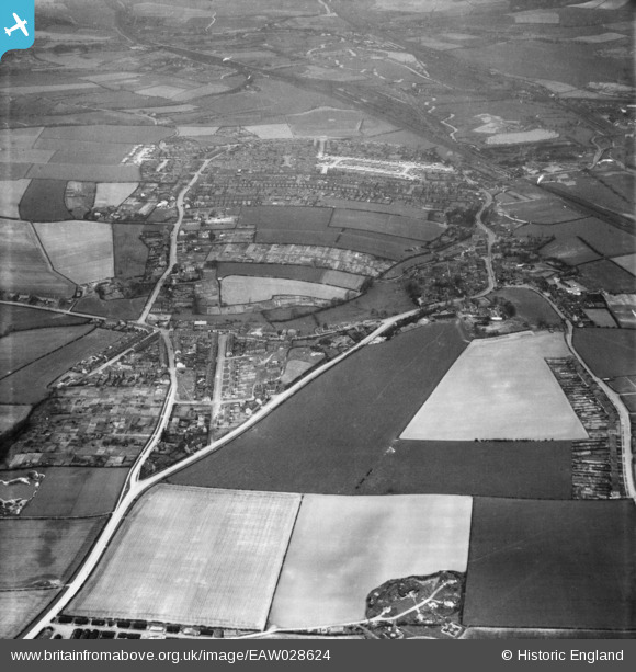
EAW028624 ENGLAND (1950). Eckington Road, West Street and the surrounding area, Beighton, 1950
© Copyright OpenStreetMap contributors and licensed by the OpenStreetMap Foundation. 2026. Cartography is licensed as CC BY-SA.
Nearby Images (6)
EAW028624

EAW028622

EAW028619

EAW028623

EAW028620

EAW028621

Details
| Title | [EAW028624] Eckington Road, West Street and the surrounding area, Beighton, 1950 |
| Reference | EAW028624 |
| Date | 6-April-1950 |
| Link | |
| Place name | BEIGHTON |
| Parish | |
| District | |
| Country | ENGLAND |
| Easting / Northing | 444117, 383152 |
| Longitude / Latitude | -1.3372863363002, 53.343155461263 |
| National Grid Reference | SK441832 |
Pins

Matt Aldred edob.mattaldred.com |
Thursday 27th of June 2024 12:31:57 PM | |

Gasometerman |
Saturday 7th of November 2020 06:10:26 PM | |
|
redmist |
Tuesday 25th of June 2019 03:09:24 PM | |
|
redmist |
Tuesday 25th of June 2019 03:07:12 PM |