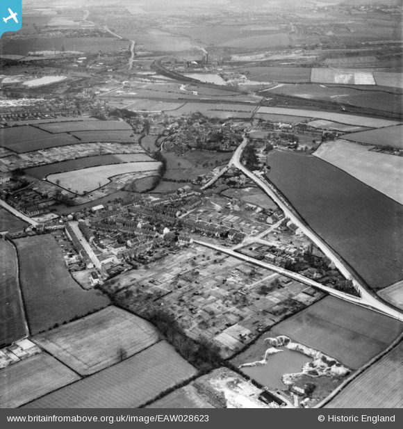
EAW028623 ENGLAND (1950). Eckington Road, Orchard Lane and the surrounding area, Beighton, 1950
© Copyright OpenStreetMap contributors and licensed by the OpenStreetMap Foundation. 2025. Cartography is licensed as CC BY-SA.
Details
| Title | [EAW028623] Eckington Road, Orchard Lane and the surrounding area, Beighton, 1950 |
| Reference | EAW028623 |
| Date | 6-April-1950 |
| Link | |
| Place name | BEIGHTON |
| Parish | |
| District | |
| Country | ENGLAND |
| Easting / Northing | 444078, 383007 |
| Longitude / Latitude | -1.337892332637, 53.341855293658 |
| National Grid Reference | SK441830 |
Pins

RichardL |
Thursday 7th of August 2014 09:17:28 PM |


![[EAW028623] Eckington Road, Orchard Lane and the surrounding area, Beighton, 1950](http://britainfromabove.org.uk/sites/all/libraries/aerofilms-images/public/100x100/EAW/028/EAW028623.jpg)
![[EAW028619] Eckington Road, West Street and the surrounding area, Beighton, 1950](http://britainfromabove.org.uk/sites/all/libraries/aerofilms-images/public/100x100/EAW/028/EAW028619.jpg)
![[EAW028624] Eckington Road, West Street and the surrounding area, Beighton, 1950](http://britainfromabove.org.uk/sites/all/libraries/aerofilms-images/public/100x100/EAW/028/EAW028624.jpg)
![[EAW028622] Eckington Road, West Street and the surrounding area, Beighton, 1950](http://britainfromabove.org.uk/sites/all/libraries/aerofilms-images/public/100x100/EAW/028/EAW028622.jpg)