
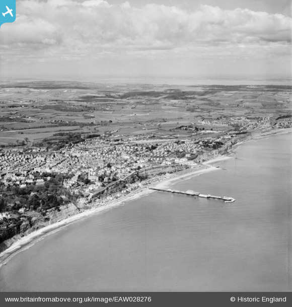
EAW028276 ENGLAND (1950). The pier and town, Shanklin, from the south-east, 1950
© Copyright OpenStreetMap contributors and licensed by the OpenStreetMap Foundation. 2026. Cartography is licensed as CC BY-SA.
Nearby Images (28)
EAW028276

EAW022213

EPW043003

EPW022919

EAW022214

EPW039648

EPW024578

EAW038585

EAW038586

EAW015241

EPW039646

EPW000802

EPW022920

EAW038587

EAW022212

EPW022915

EPW022923

EPW022924

EPW043004

EPW043001

EAW015238

EAW015236

EAW015234

EAW015237

EAW015235

EAW022211

EAW015239

EAW015240

Details
| Title | [EAW028276] The pier and town, Shanklin, from the south-east, 1950 |
| Reference | EAW028276 |
| Date | 24-March-1950 |
| Link | |
| Place name | SHANKLIN |
| Parish | SHANKLIN |
| District | |
| Country | ENGLAND |
| Easting / Northing | 458686, 81329 |
| Longitude / Latitude | -1.1701847715044, 50.62811992054 |
| National Grid Reference | SZ587813 |
Pins
Be the first to add a comment to this image!