
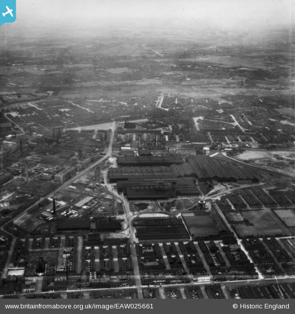
EAW025661 ENGLAND (1949). The English Steel Corporation North Street Works, Openshaw, from the south, 1949. This image has been produced from a print.
© Copyright OpenStreetMap contributors and licensed by the OpenStreetMap Foundation. 2026. Cartography is licensed as CC BY-SA.
Nearby Images (19)
EAW025661

EAW022085

EAW022087

EAW025663

EAW017371

EAW022083

EAW022086

EAW022089

EAW025665

EAW025660

EAW025664

EAW017372

EAW017373

EAW022088

EAW022084

EAW017374

EAW036136

EAW025659

EAW022082

Details
| Title | [EAW025661] The English Steel Corporation North Street Works, Openshaw, from the south, 1949. This image has been produced from a print. |
| Reference | EAW025661 |
| Date | 1-August-1949 |
| Link | |
| Place name | OPENSHAW |
| Parish | |
| District | |
| Country | ENGLAND |
| Easting / Northing | 387933, 397741 |
| Longitude / Latitude | -2.1818318127411, 53.476006409416 |
| National Grid Reference | SJ879977 |
Pins

roysy |
Friday 26th of November 2021 05:43:10 PM | |
|
moorsie |
Saturday 1st of June 2019 03:23:57 PM | |
|
moorsie |
Saturday 1st of June 2019 03:19:46 PM | |
|
moorsie |
Wednesday 21st of November 2018 07:00:28 PM | |
|
Barney Rubble |
Monday 1st of December 2014 02:28:24 PM | |
|
Barney Rubble |
Monday 1st of December 2014 02:27:58 PM | |
|
Barney Rubble |
Monday 1st of December 2014 02:27:23 PM | |
|
John T. Pitman |
Tuesday 14th of October 2014 10:33:30 PM | |
|
John T. Pitman |
Tuesday 14th of October 2014 10:30:26 PM |