
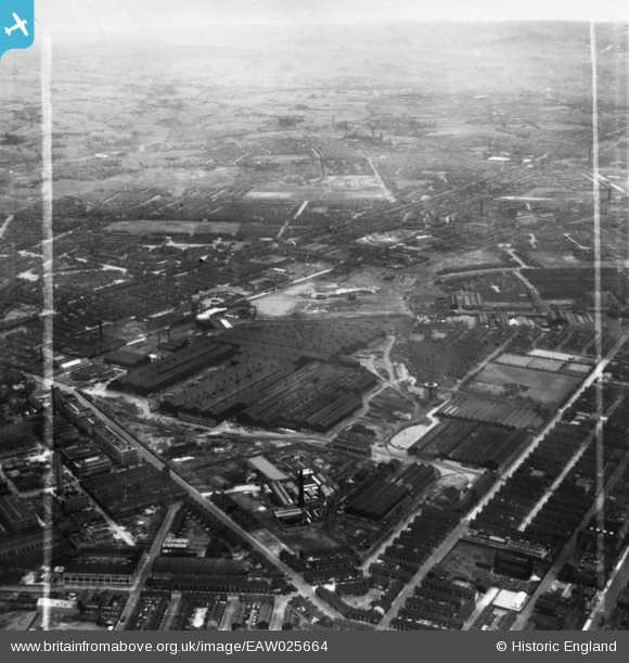
EAW025664 ENGLAND (1949). The English Steel Corporation North Street Works, Openshaw, from the east, 1949. This image has been produced from a print marked by Aerofilms Ltd for photo editing.
© Copyright OpenStreetMap contributors and licensed by the OpenStreetMap Foundation. 2026. Cartography is licensed as CC BY-SA.
Nearby Images (17)
EAW025664

EAW017372

EAW025660

EAW017371

EAW036136

EAW025665

EAW017375

EAW025663

EAW022088

EAW022087

EAW022085

EAW017374

EAW025661

EAW022083

EAW022086

EAW025658

EAW017373

Details
| Title | [EAW025664] The English Steel Corporation North Street Works, Openshaw, from the east, 1949. This image has been produced from a print marked by Aerofilms Ltd for photo editing. |
| Reference | EAW025664 |
| Date | 1-August-1949 |
| Link | |
| Place name | OPENSHAW |
| Parish | |
| District | |
| Country | ENGLAND |
| Easting / Northing | 387790, 397822 |
| Longitude / Latitude | -2.1839897484805, 53.476731257111 |
| National Grid Reference | SJ878978 |
Pins

Barney Rubble |
Friday 22nd of May 2026 11:00:06 AM | |
|
Barney Rubble |
Friday 22nd of May 2026 10:59:04 AM | |
|
Barney Rubble |
Friday 22nd of May 2026 10:58:01 AM | |
|
Barney Rubble |
Friday 22nd of May 2026 10:56:11 AM | |
|
Barney Rubble |
Friday 22nd of May 2026 10:55:11 AM | |
|
John T. Pitman |
Tuesday 14th of October 2014 10:50:07 PM |