
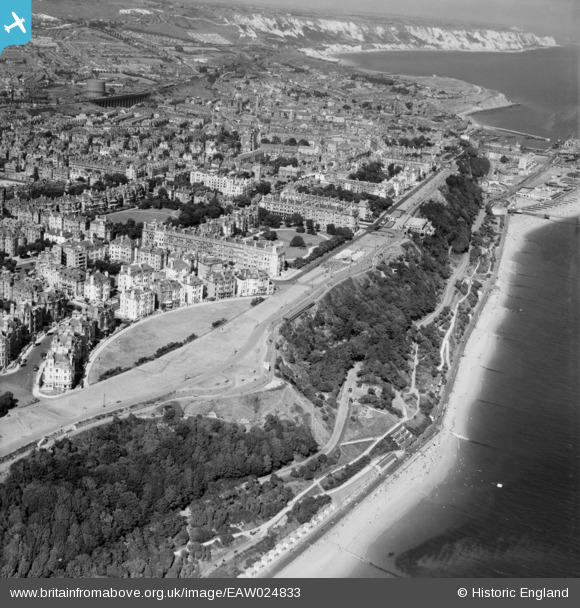
EAW024833 ENGLAND (1949). West Cliff, Folkestone, from the south-west, 1949
© Copyright OpenStreetMap contributors and licensed by the OpenStreetMap Foundation. 2026. Cartography is licensed as CC BY-SA.
Nearby Images (13)
EAW024833

EPW000583

EAW002374

EPW000082

EPW000085

EAW002375

EPW000592

EAW024829

EPW009201

EAW024828

EPW000077

EAW002854

EPW000364

Details
| Title | [EAW024833] West Cliff, Folkestone, from the south-west, 1949 |
| Reference | EAW024833 |
| Date | 12-July-1949 |
| Link | |
| Place name | FOLKESTONE |
| Parish | FOLKESTONE |
| District | |
| Country | ENGLAND |
| Easting / Northing | 622004, 135315 |
| Longitude / Latitude | 1.1694806078009, 51.073616901976 |
| National Grid Reference | TR220353 |
