
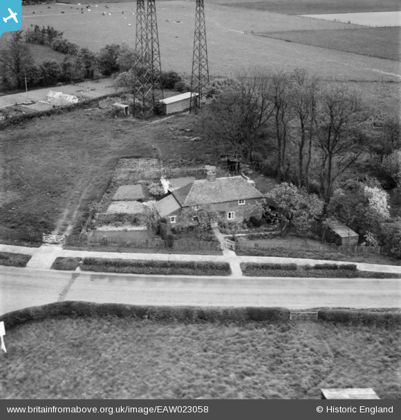
EAW023058 ENGLAND (1949). 360 Canterbury Road, Densole, 1949
© Copyright OpenStreetMap contributors and licensed by the OpenStreetMap Foundation. 2026. Cartography is licensed as CC BY-SA.
Nearby Images (5)
EAW023058

EAW023055

EAW023056

EAW023057

EAW023054

Details
| Title | [EAW023058] 360 Canterbury Road, Densole, 1949 |
| Reference | EAW023058 |
| Date | 10-May-1949 |
| Link | |
| Place name | DENSOLE |
| Parish | SWINGFIELD |
| District | |
| Country | ENGLAND |
| Easting / Northing | 621089, 141531 |
| Longitude / Latitude | 1.1602458658834, 51.129786351875 |
| National Grid Reference | TR211415 |
Pins
Be the first to add a comment to this image!