
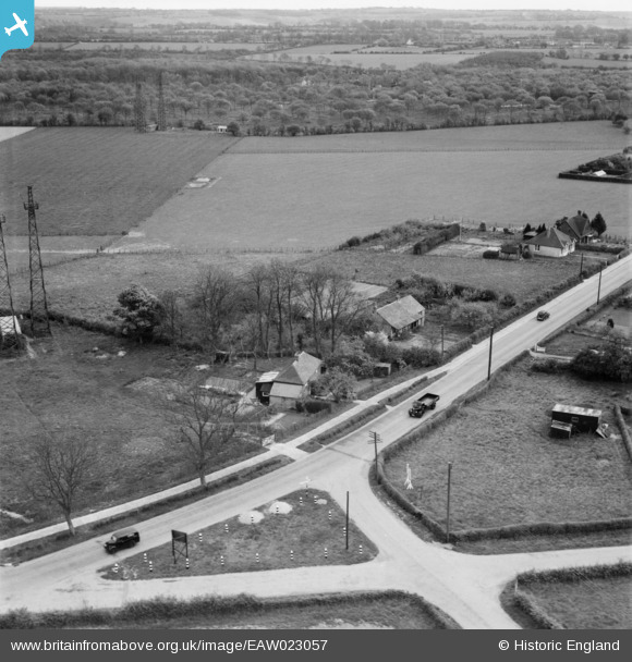
EAW023057 ENGLAND (1949). Houses along Canterbury Road, Densole, 1949
© Copyright OpenStreetMap contributors and licensed by the OpenStreetMap Foundation. 2026. Cartography is licensed as CC BY-SA.
Nearby Images (5)
EAW023057

EAW023055

EAW023058

EAW023056

EAW023054

Details
| Title | [EAW023057] Houses along Canterbury Road, Densole, 1949 |
| Reference | EAW023057 |
| Date | 10-May-1949 |
| Link | |
| Place name | DENSOLE |
| Parish | SWINGFIELD |
| District | |
| Country | ENGLAND |
| Easting / Northing | 621117, 141498 |
| Longitude / Latitude | 1.1606251991092, 51.129479223621 |
| National Grid Reference | TR211415 |
Pins

Sparky |
Monday 10th of July 2017 12:09:39 PM | |
 |

Billy Turner |
Tuesday 16th of February 2016 12:25:53 AM |
|
Billy Turner |
Tuesday 16th of February 2016 12:06:19 AM | |
|
Billy Turner |
Monday 15th of February 2016 11:51:33 PM | |

MB |
Sunday 29th of December 2013 10:07:29 AM | |
|
MB |
Sunday 29th of December 2013 10:07:09 AM | |
|
MB |
Sunday 29th of December 2013 10:02:58 AM |

