
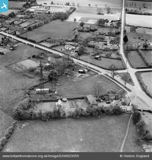
EAW023055 ENGLAND (1949). The Black Horse Inn on Canterbury Road and environs, Densole, 1949
© Copyright OpenStreetMap contributors and licensed by the OpenStreetMap Foundation. 2026. Cartography is licensed as CC BY-SA.
Nearby Images (5)
EAW023055

EAW023056

EAW023058

EAW023054

EAW023057

Details
| Title | [EAW023055] The Black Horse Inn on Canterbury Road and environs, Densole, 1949 |
| Reference | EAW023055 |
| Date | 10-May-1949 |
| Link | |
| Place name | DENSOLE |
| Parish | SWINGFIELD |
| District | |
| Country | ENGLAND |
| Easting / Northing | 621108, 141540 |
| Longitude / Latitude | 1.1605225308235, 51.129859832065 |
| National Grid Reference | TR211415 |
Pins

flipperphillips |
Sunday 19th of April 2020 08:58:17 AM |