
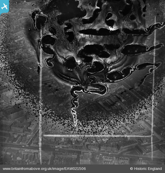
EAW021506 ENGLAND (1949). Falmouth Road and environs, Newington, 1949. This image has been produced from a damaged negative.
© Copyright OpenStreetMap contributors and licensed by the OpenStreetMap Foundation. 2026. Cartography is licensed as CC BY-SA.
Nearby Images (29)
EAW021506

EPW015751

EAW021505

EPW007726

EPW015752

EPW015760

EAW021509

EPW016619

EPW015749

EPW007728

EPW007725

EPW007724

EAW021507

EPW015753

EPW007727

EAW021503

EAW021510

EPW015759

EPW016620

EAW021502

EPW007723

EAW021501

EAW021500

EPW015750

EAW021508

EPW015754

EAW021504

EPW055342

EAW000535

Details
| Title | [EAW021506] Falmouth Road and environs, Newington, 1949. This image has been produced from a damaged negative. |
| Reference | EAW021506 |
| Date | 19-March-1949 |
| Link | |
| Place name | NEWINGTON |
| Parish | |
| District | |
| Country | ENGLAND |
| Easting / Northing | 532554, 179319 |
| Longitude / Latitude | -0.090223178410261, 51.496766206086 |
| National Grid Reference | TQ326793 |
