
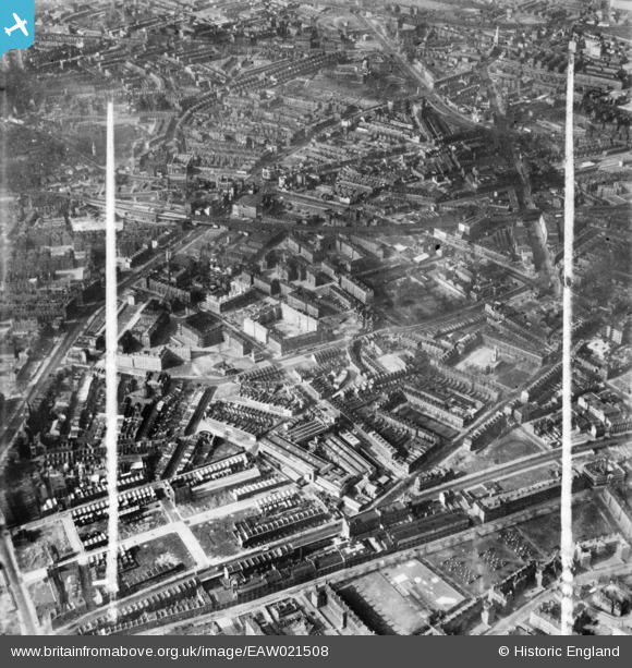
EAW021508 ENGLAND (1949). Falmouth Road, the Rockingham Estate and environs, Newington, 1949. This image has been produced from a print marked by Aerofilms Ltd for photo editing.
© Copyright OpenStreetMap contributors and licensed by the OpenStreetMap Foundation. 2026. Cartography is licensed as CC BY-SA.
Nearby Images (27)
EAW021508

EAW021500

EPW015759

EAW021510

EPW015760

EPW016619

EPW016620

EAW021506

EPW015752

EPW015751

EAW021509

EPW015750

EAW021505

EPW007726

EPW007728

EPW007725

EPW015749

EAW021507

EPW007724

EAW021502

EPW007727

EAW021501

EPW015753

EAW021503

EPW007723

EAW000532

EAW021504

Details
| Title | [EAW021508] Falmouth Road, the Rockingham Estate and environs, Newington, 1949. This image has been produced from a print marked by Aerofilms Ltd for photo editing. |
| Reference | EAW021508 |
| Date | 19-March-1949 |
| Link | |
| Place name | NEWINGTON |
| Parish | |
| District | |
| Country | ENGLAND |
| Easting / Northing | 532425, 179227 |
| Longitude / Latitude | -0.092115174825473, 51.495969592806 |
| National Grid Reference | TQ324792 |
Pins

Post-war prefabs |
Saturday 4th of January 2020 01:55:07 PM | |

Class31 |
Tuesday 14th of April 2015 10:15:17 AM | |
|
Class31 |
Tuesday 14th of April 2015 10:13:09 AM | |
|
Class31 |
Tuesday 14th of April 2015 10:11:48 AM | |
|
Class31 |
Tuesday 14th of April 2015 10:11:01 AM |


