
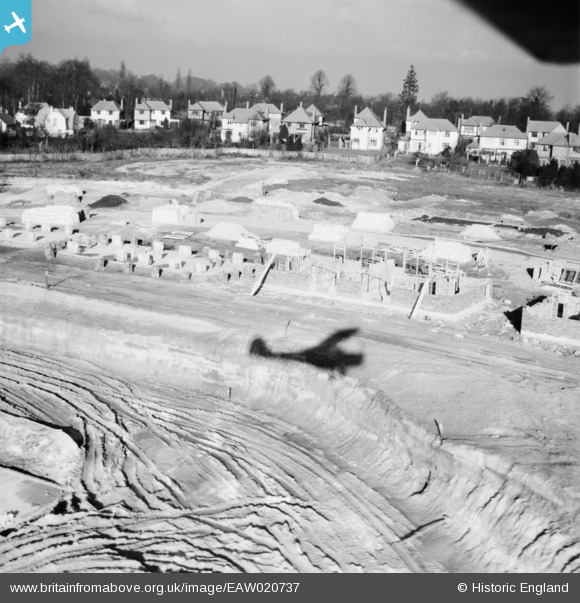
EAW020737 ENGLAND (1948). Construction of housing along Ravensbury Road, St Paul's Cray, from the south, 1948
© Copyright OpenStreetMap contributors and licensed by the OpenStreetMap Foundation. 2026. Cartography is licensed as CC BY-SA.
Nearby Images (14)
EAW020737

EAW020739

EAW020719

EAW020720

EAW042061

EAW020736

EAW042062

EAW020730

EAW026815

EAW020733

EAW042064

EAW020738

EAW021760

EAW026809

Details
| Title | [EAW020737] Construction of housing along Ravensbury Road, St Paul's Cray, from the south, 1948 |
| Reference | EAW020737 |
| Date | 24-December-1948 |
| Link | |
| Place name | ST PAUL'S CRAY |
| Parish | |
| District | |
| Country | ENGLAND |
| Easting / Northing | 545972, 168445 |
| Longitude / Latitude | 0.098477909916156, 51.39574068495 |
| National Grid Reference | TQ460684 |
Pins

longshot |
Friday 20th of December 2013 09:30:23 PM |