
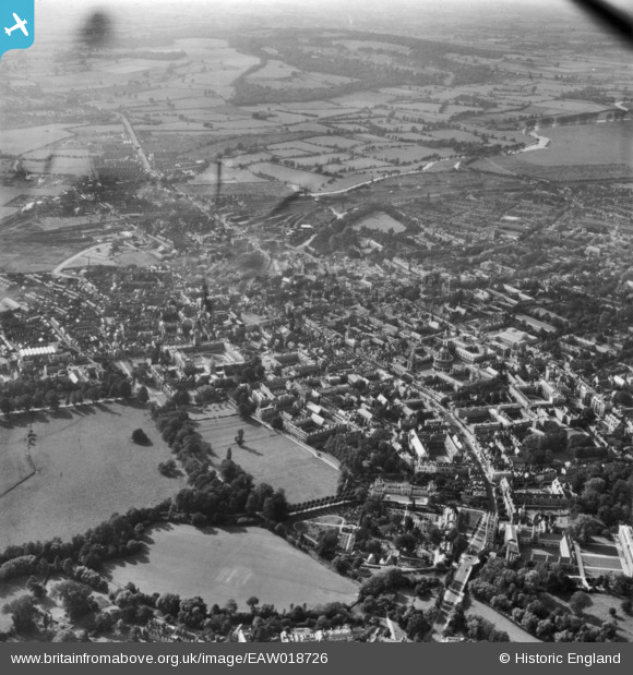
EAW018726 ENGLAND (1948). The city, Oxford, from the east, 1948. This image has been produced from a print.
© Copyright OpenStreetMap contributors and licensed by the OpenStreetMap Foundation. 2026. Cartography is licensed as CC BY-SA.
Nearby Images (18)
EAW018726

EAW014892

EAW049089

EAW003933

EAW047928

EPW052770

EAW003607

EAW045707

EAW003129

EPW000828

EPW052772

EAW018727

EPW052776

EPW000822

EPW000844

EAW045720

EAW049093

EAW031683

Details
| Title | [EAW018726] The city, Oxford, from the east, 1948. This image has been produced from a print. |
| Reference | EAW018726 |
| Date | 31-August-1948 |
| Link | |
| Place name | OXFORD |
| Parish | |
| District | |
| Country | ENGLAND |
| Easting / Northing | 451918, 206010 |
| Longitude / Latitude | -1.2478413794486, 51.749922157976 |
| National Grid Reference | SP519060 |
Pins
Be the first to add a comment to this image!