
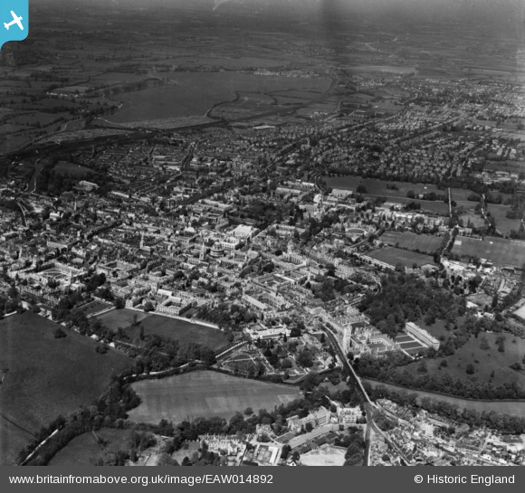
EAW014892 ENGLAND (1948). The city, Oxford, from the south-east, 1948. This image has been produced from a print.
© Copyright OpenStreetMap contributors and licensed by the OpenStreetMap Foundation. 2026. Cartography is licensed as CC BY-SA.
Nearby Images (19)
EAW014892

EAW049089

EAW018726

EAW047928

EPW052770

EAW045707

EAW003129

EPW000828

EAW003933

EPW052776

EPW000822

EPW052772

EPW000844

EAW003607

EAW045720

EPW000825

EAW049093

EAW031683

EAW003604

Details
| Title | [EAW014892] The city, Oxford, from the south-east, 1948. This image has been produced from a print. |
| Reference | EAW014892 |
| Date | 26-April-1948 |
| Link | |
| Place name | OXFORD |
| Parish | |
| District | |
| Country | ENGLAND |
| Easting / Northing | 451963, 206047 |
| Longitude / Latitude | -1.2471839747417, 51.750250664468 |
| National Grid Reference | SP520060 |
Pins
Be the first to add a comment to this image!
User Comment Contributions
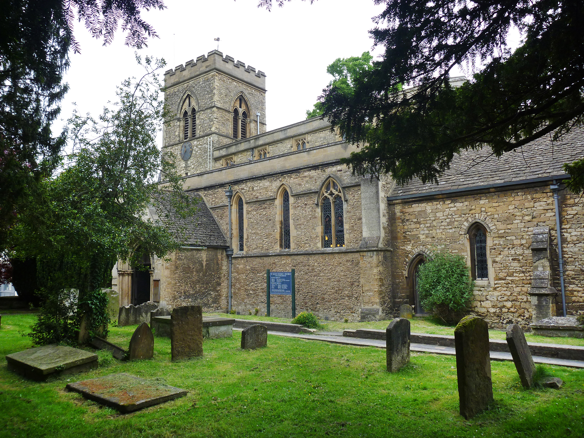
Saint Giles Church Oxford |

Alan McFaden |
Sunday 16th of November 2014 09:21:10 AM |

Oxford Pittrivers Museum |
Alan McFaden |
Sunday 16th of November 2014 09:20:31 AM |
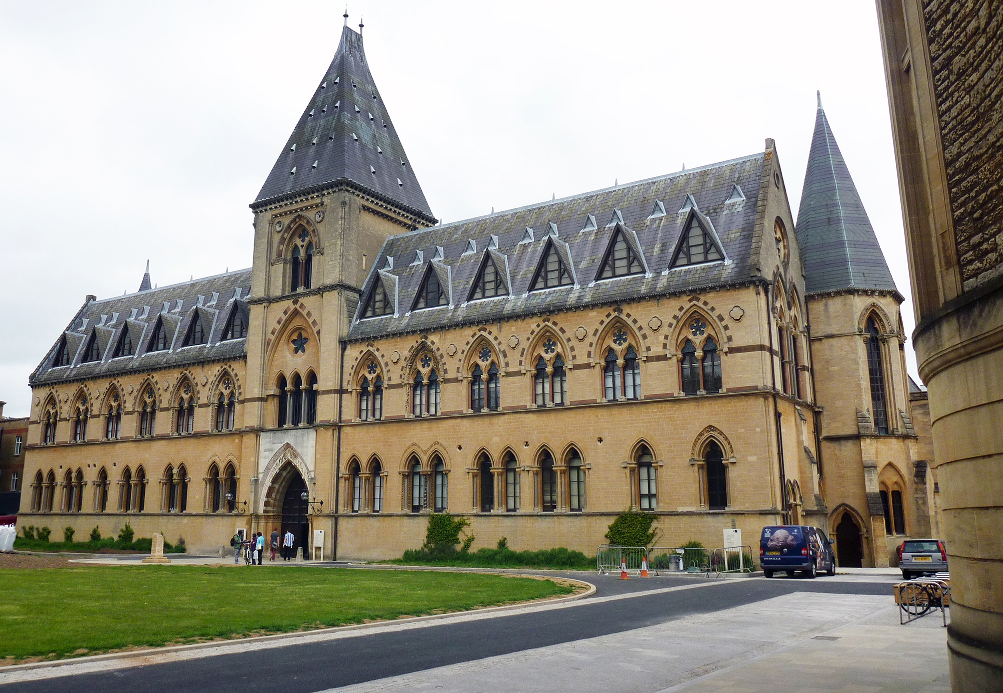
Oxford Pittrivers Museum |
Alan McFaden |
Sunday 16th of November 2014 09:20:04 AM |
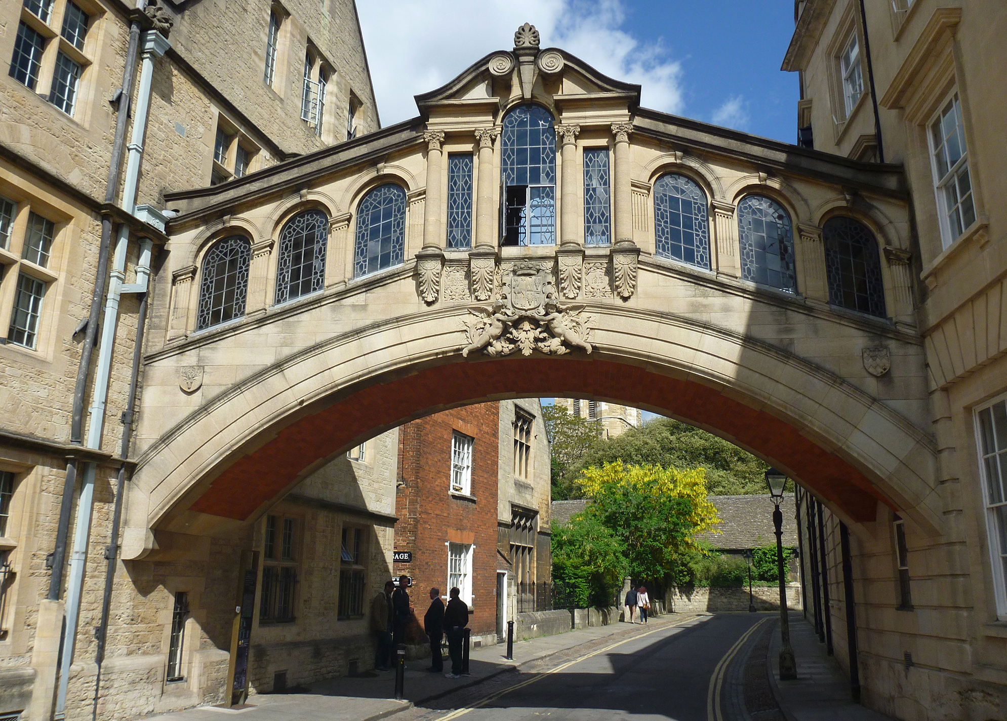
Oxford Bridge of Sighs |
Alan McFaden |
Sunday 16th of November 2014 09:19:29 AM |
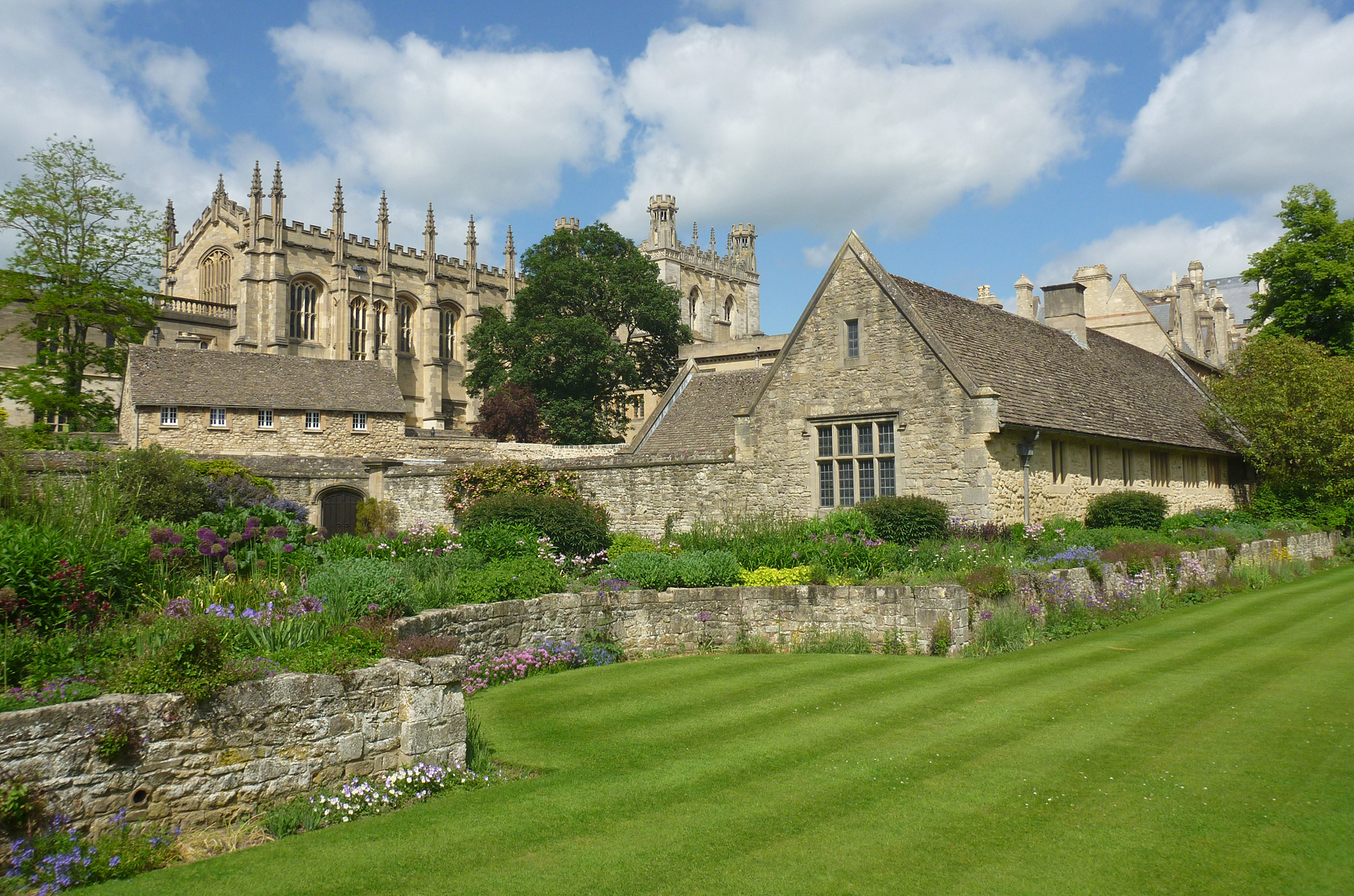
Oxford Christ Church Memorial Garden |
Alan McFaden |
Sunday 16th of November 2014 09:19:02 AM |
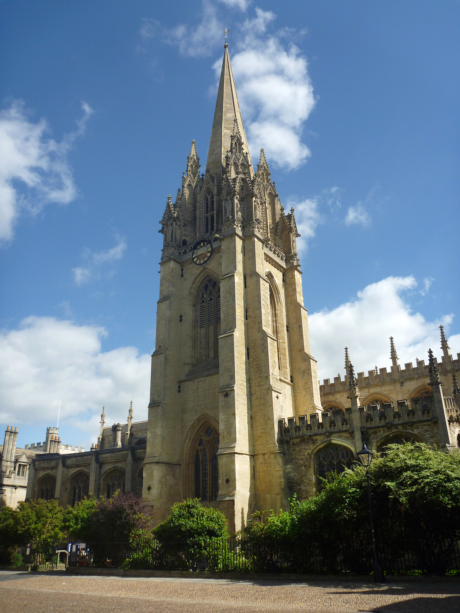
Oxford Saint Mary's Church |
Alan McFaden |
Sunday 16th of November 2014 09:18:28 AM |
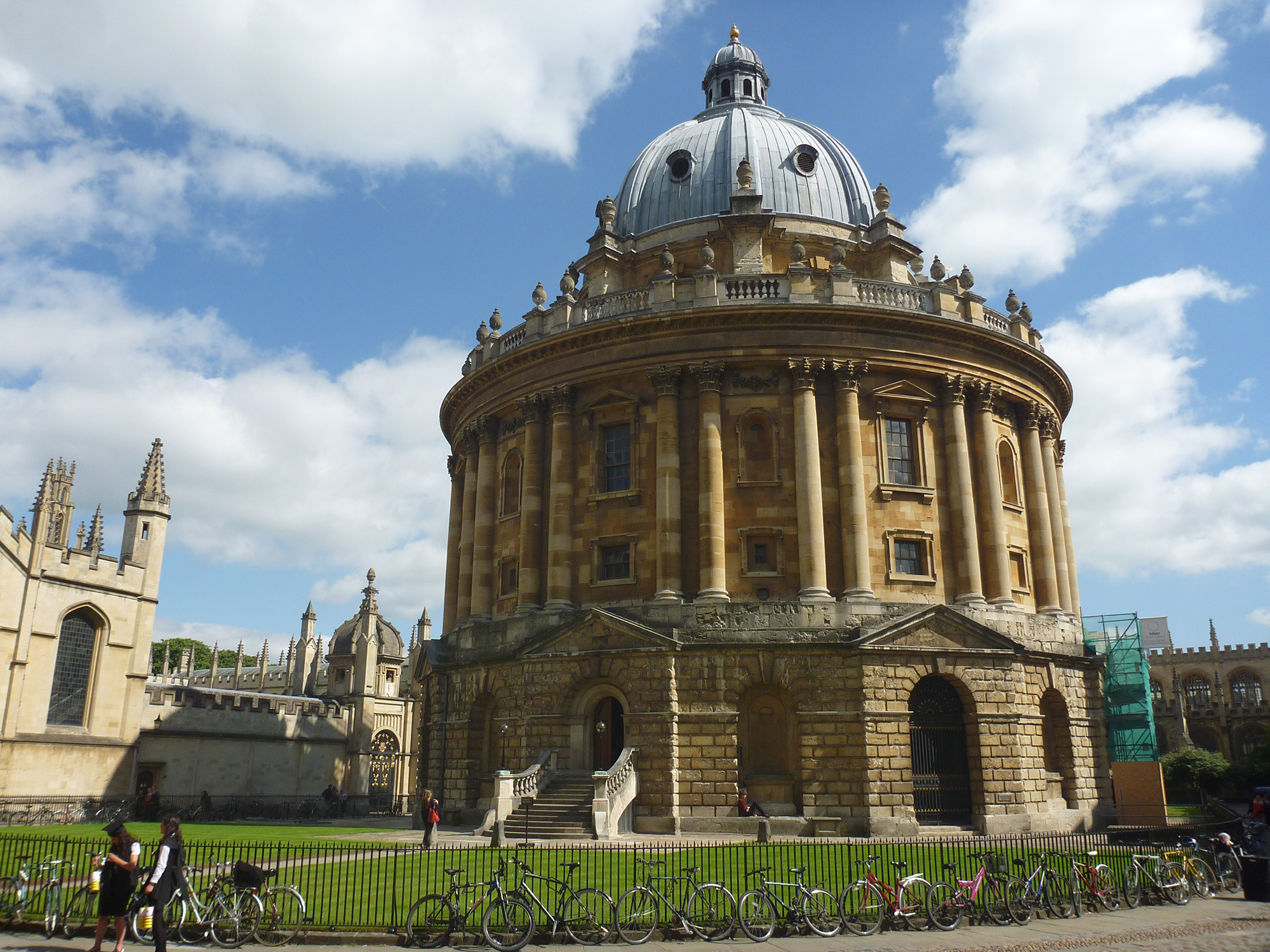
Oxford Radcliffe Camera |
Alan McFaden |
Sunday 16th of November 2014 09:18:01 AM |