
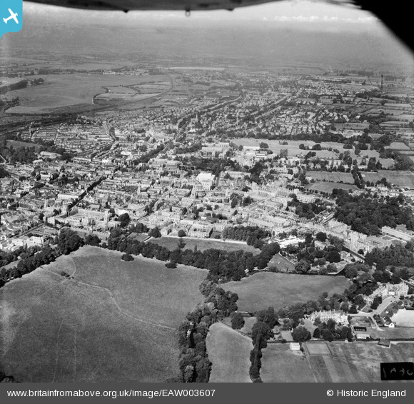
EAW003607 ENGLAND (1947). The city, Oxford, from the south-east, 1947
© Copyright OpenStreetMap contributors and licensed by the OpenStreetMap Foundation. 2026. Cartography is licensed as CC BY-SA.
Nearby Images (6)
EAW003607

EAW003933

EAW018726

EAW014892

EAW049089

EAW018727

Details
| Title | [EAW003607] The city, Oxford, from the south-east, 1947 |
| Reference | EAW003607 |
| Date | March-1947 |
| Link | |
| Place name | OXFORD |
| Parish | |
| District | |
| Country | ENGLAND |
| Easting / Northing | 451888, 205858 |
| Longitude / Latitude | -1.2482986494323, 51.748558253005 |
| National Grid Reference | SP519059 |
Pins

Alan McFaden |
Sunday 12th of January 2014 07:49:15 PM | |
|
Alan McFaden |
Sunday 12th of January 2014 07:48:36 PM |


User Comment Contributions
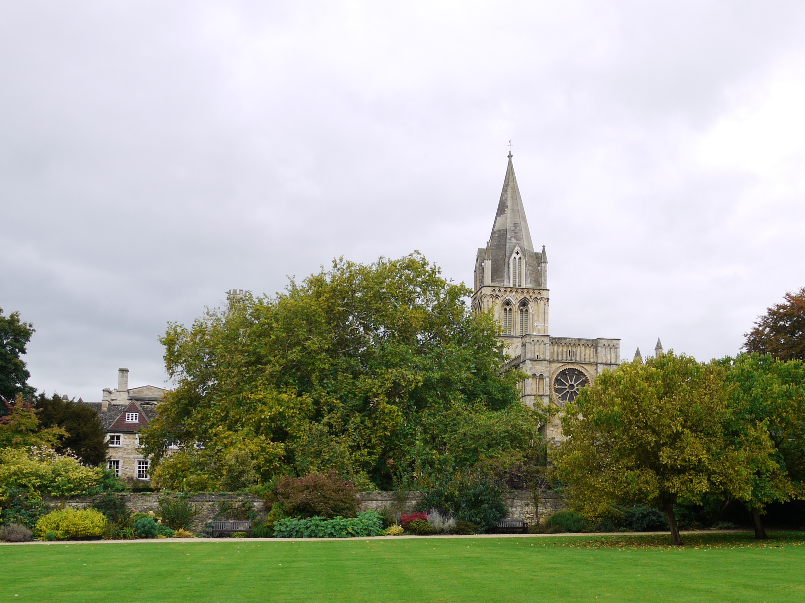
Christ Church, Oxford, 07/10/2015 |

Class31 |
Thursday 19th of May 2016 07:08:02 AM |