
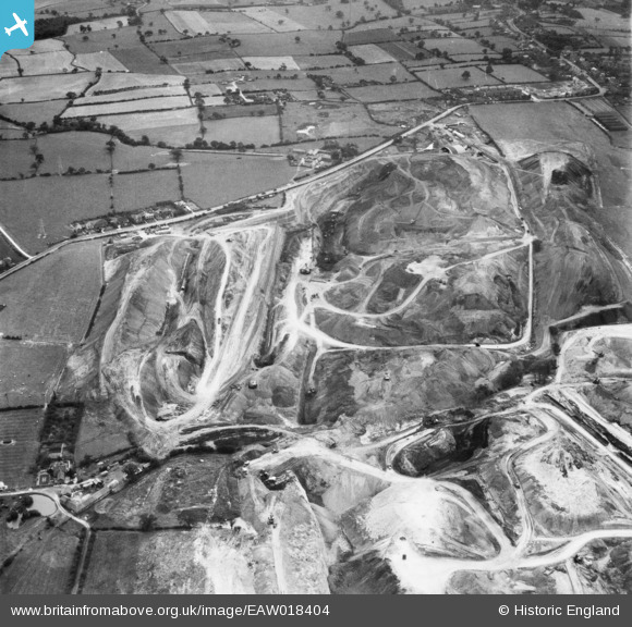
EAW018404 ENGLAND (1948). An opencast mining site to the north of the village, Smalley, 1948
© Copyright OpenStreetMap contributors and licensed by the OpenStreetMap Foundation. 2026. Cartography is licensed as CC BY-SA.
Nearby Images (48)
EAW018404

EAW018403

EAW018405

EAW012040

EAW012041

EAW012042

EAW017964

EAW017963

EAW012039

EAW025916

EAW018415

EAW018400

EAW025912

EAW033473

EAW017986

EAW011238

EAW017961

EAW017954

EAW017955

EAW033475

EAW018411

EAW033474

EAW018412

EAW011246

EAW017948

EAW011243

EAW018416

EAW012052

EAW018401

EAW011252

EAW011249

EAW017985

EAW025923

EAW011236

EAW011237

EAW012054

EAW011239

EAW017953

EAW018402

EAW011241

EAW011226

EAW012053

EAW011235

EAW025920

EAW011248

EAW018413

EPW048666

EAW011234

Details
| Title | [EAW018404] An opencast mining site to the north of the village, Smalley, 1948 |
| Reference | EAW018404 |
| Date | 31-August-1948 |
| Link | |
| Place name | SMALLEY |
| Parish | SMALLEY |
| District | |
| Country | ENGLAND |
| Easting / Northing | 441318, 345550 |
| Longitude / Latitude | -1.3841888207177, 53.005360993261 |
| National Grid Reference | SK413456 |
Pins


User Comment Contributions
View looking south |

Class31 |
Thursday 9th of January 2014 12:29:38 PM |