
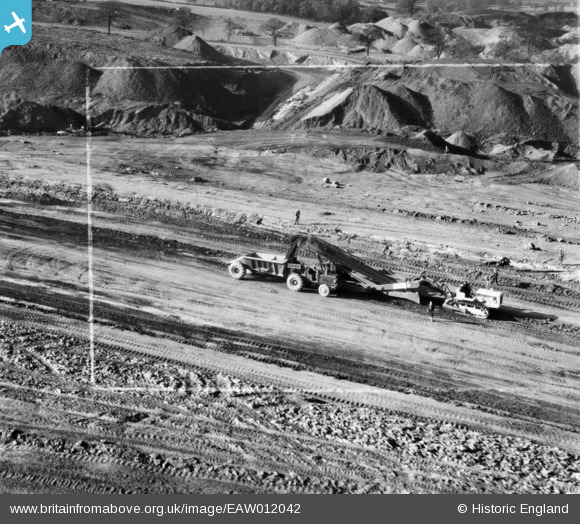
EAW012042 ENGLAND (1947). Opencast mining site to the north of the village, Smalley, 1947. This image was marked by Aerofilms Ltd for photo editing.
© Copyright OpenStreetMap contributors and licensed by the OpenStreetMap Foundation. 2026. Cartography is licensed as CC BY-SA.
Nearby Images (48)
EAW012042

EAW012041

EAW012040

EAW012039

EAW017964

EAW025921

EAW025916

EAW018400

EAW018404

EAW011238

EAW017986

EAW025914

EAW018403

EAW018405

EAW017963

EAW012044

EAW011252

EAW033473

EAW025912

EAW011891

EAW011889

EAW012047

EAW018415

EAW011243

EAW011890

EAW011894

EAW033474

EAW011900

EAW011226

EAW011899

EAW012052

EAW018411

EAW017961

EAW011898

EAW017954

EAW011246

EAW033469

EAW017955

EAW018412

EAW033475

EAW011236

EAW018401

EAW011237

EAW011239

EAW011235

EAW011241

EAW012053

EAW011234

Details
| Title | [EAW012042] Opencast mining site to the north of the village, Smalley, 1947. This image was marked by Aerofilms Ltd for photo editing. |
| Reference | EAW012042 |
| Date | 5-November-1947 |
| Link | |
| Place name | SMALLEY |
| Parish | SMALLEY |
| District | |
| Country | ENGLAND |
| Easting / Northing | 441280, 345615 |
| Longitude / Latitude | -1.3847468356059, 53.005948254349 |
| National Grid Reference | SK413456 |
Pins
 |

Billy Turner |
Tuesday 7th of March 2017 07:36:26 PM |