
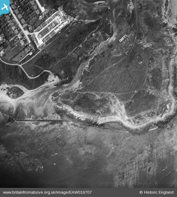
EAW016707 ENGLAND (1948). Long Nab, Scalby Ness Rocks, 1948
© Copyright OpenStreetMap contributors and licensed by the OpenStreetMap Foundation. 2026. Cartography is licensed as CC BY-SA.
Nearby Images (15)
EAW016707

EAW016708

EAW016701

EAW016705

EAW016709

EAW016702

EAW016703

EAW016706

EAW016704

EAW010306

EAW016700

EAW010304

EAW010300

EAW010303

EAW010305

Details
| Title | [EAW016707] Long Nab, Scalby Ness Rocks, 1948 |
| Reference | EAW016707 |
| Date | 23-June-1948 |
| Link | |
| Place name | SCALBY NESS ROCKS |
| Parish | NEWBY AND SCALBY |
| District | |
| Country | ENGLAND |
| Easting / Northing | 503612, 490965 |
| Longitude / Latitude | -0.40750517942986, 54.303611105912 |
| National Grid Reference | TA036910 |
Pins

Chris101 |
Thursday 4th of March 2021 11:31:38 PM | |

Matt Aldred edob.mattaldred.com |
Monday 30th of November 2020 06:33:41 PM | |
|
Matt Aldred edob.mattaldred.com |
Monday 30th of November 2020 06:33:03 PM | |
|
redmist |
Saturday 19th of October 2019 07:21:13 PM | |
|
redmist |
Wednesday 17th of April 2019 11:38:08 PM | |
|
Chris Kolonko |
Tuesday 2nd of January 2018 04:54:03 PM | |
|
Al |
Sunday 5th of March 2017 06:35:59 PM | |
|
Al |
Sunday 5th of March 2017 06:35:44 PM |
User Comment Contributions

section posts |
Al |
Sunday 5th of March 2017 10:07:05 PM |