
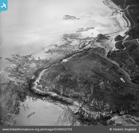
EAW016703 ENGLAND (1948). Long Nab, Scalby Ness Rocks, 1948
© Copyright OpenStreetMap contributors and licensed by the OpenStreetMap Foundation. 2026. Cartography is licensed as CC BY-SA.
Nearby Images (13)
EAW016703

EAW016702

EAW016709

EAW016704

EAW016701

EAW016706

EAW016705

EAW016708

EAW016707

EAW010306

EAW010304

EAW010303

EAW010305

Details
| Title | [EAW016703] Long Nab, Scalby Ness Rocks, 1948 |
| Reference | EAW016703 |
| Date | 23-June-1948 |
| Link | |
| Place name | SCALBY NESS ROCKS |
| Parish | NEWBY AND SCALBY |
| District | |
| Country | ENGLAND |
| Easting / Northing | 503622, 491080 |
| Longitude / Latitude | -0.40731165177018, 54.304642326865 |
| National Grid Reference | TA036911 |
Pins

Matt Aldred edob.mattaldred.com |
Thursday 11th of March 2021 12:38:48 PM | |
|
Matt Aldred edob.mattaldred.com |
Thursday 11th of March 2021 12:38:05 PM | |

redmist |
Saturday 19th of October 2019 07:07:28 PM | |
|
redmist |
Wednesday 17th of April 2019 11:41:07 PM | |
|
Al |
Monday 19th of May 2014 04:53:49 PM |