
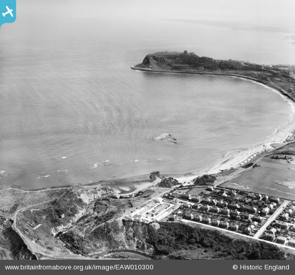
EAW010300 ENGLAND (1947). North Bay, Scarborough, from the north-west, 1947
© Copyright OpenStreetMap contributors and licensed by the OpenStreetMap Foundation. 2026. Cartography is licensed as CC BY-SA.
Nearby Images (8)
EAW010300

EAW016700

EAW010299

EAW016707

EAW016708

EAW016705

EAW010306

EAW016701

Details
| Title | [EAW010300] North Bay, Scarborough, from the north-west, 1947 |
| Reference | EAW010300 |
| Date | 25-August-1947 |
| Link | |
| Place name | SCARBOROUGH |
| Parish | |
| District | |
| Country | ENGLAND |
| Easting / Northing | 503701, 490779 |
| Longitude / Latitude | -0.4062024239333, 54.301921875238 |
| National Grid Reference | TA037908 |
Pins

redmist |
Thursday 12th of September 2019 08:56:28 AM |