
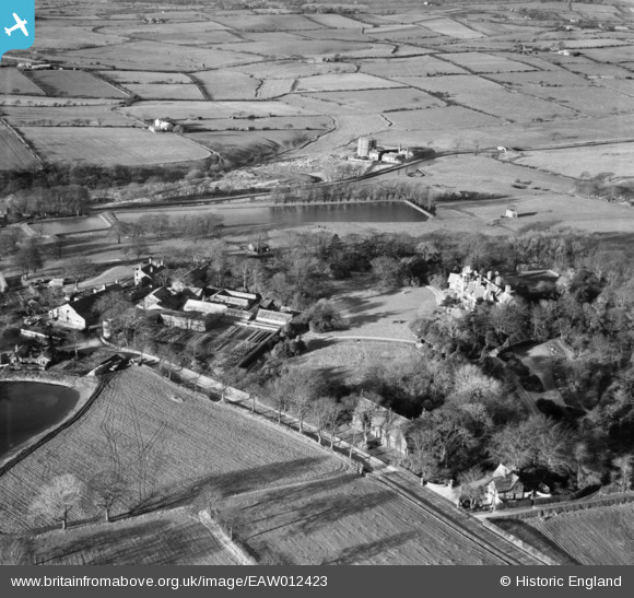
EAW012423 ENGLAND (1947). Withnell Fold Farm and Withnell Fold Hall, Withnell Fold, 1947
© Copyright OpenStreetMap contributors and licensed by the OpenStreetMap Foundation. 2026. Cartography is licensed as CC BY-SA.
Nearby Images (13)
EAW012423

EAW012421

EAW012424

EAW010389

EAW010163

EAW012422

EAW010162

EAW010160

EAW010388

EAW010164

EAW010161

EAW010159

EAW010390

Details
| Title | [EAW012423] Withnell Fold Farm and Withnell Fold Hall, Withnell Fold, 1947 |
| Reference | EAW012423 |
| Date | 26-November-1947 |
| Link | |
| Place name | WITHNELL FOLD |
| Parish | WITHNELL |
| District | |
| Country | ENGLAND |
| Easting / Northing | 361450, 423192 |
| Longitude / Latitude | -2.5840224659734, 53.703508598399 |
| National Grid Reference | SD615232 |
Pins

Tim |
Friday 23rd of January 2015 05:59:52 PM |