
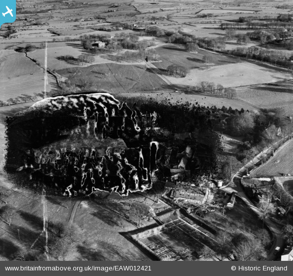
EAW012421 ENGLAND (1947). Withnell Fold Farm, Withnell Fold, 1947. This image has been produced from a damaged negative.
© Copyright OpenStreetMap contributors and licensed by the OpenStreetMap Foundation. 2026. Cartography is licensed as CC BY-SA.
Nearby Images (10)
EAW012421

EAW010163

EAW012423

EAW010162

EAW012424

EAW010389

EAW012422

EAW010164

EAW010160

EAW010388

Details
| Title | [EAW012421] Withnell Fold Farm, Withnell Fold, 1947. This image has been produced from a damaged negative. |
| Reference | EAW012421 |
| Date | 26-November-1947 |
| Link | |
| Place name | WITHNELL FOLD |
| Parish | WITHNELL |
| District | |
| Country | ENGLAND |
| Easting / Northing | 361504, 423194 |
| Longitude / Latitude | -2.5832046752559, 53.703530560735 |
| National Grid Reference | SD615232 |
Pins
Be the first to add a comment to this image!