
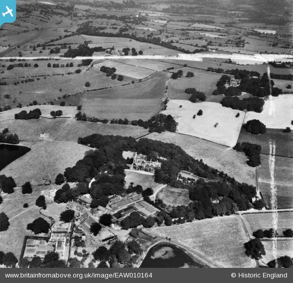
EAW010164 ENGLAND (1947). Withnell Fold Hall and environs, Withnell Fold, 1947. This image was marked by Aerofilms Ltd for photo editing.
© Copyright OpenStreetMap contributors and licensed by the OpenStreetMap Foundation. 2026. Cartography is licensed as CC BY-SA.
Nearby Images (8)
EAW010164

EAW010162

EAW010163

EAW012421

EAW012423

EAW012424

EAW010389

EAW012422

Details
| Title | [EAW010164] Withnell Fold Hall and environs, Withnell Fold, 1947. This image was marked by Aerofilms Ltd for photo editing. |
| Reference | EAW010164 |
| Date | 29-August-1947 |
| Link | |
| Place name | WITHNELL FOLD |
| Parish | WITHNELL |
| District | |
| Country | ENGLAND |
| Easting / Northing | 361603, 423333 |
| Longitude / Latitude | -2.5817221669253, 53.704787279964 |
| National Grid Reference | SD616233 |
Pins
Be the first to add a comment to this image!