
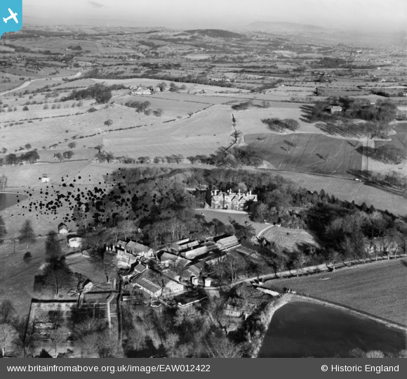
EAW012422 ENGLAND (1947). Withnell Fold Farm, Withnell Fold Hall and the surrounding countryside, Withnell Fold, from the south-west, 1947. This image has been produced from a damaged negative.
© Copyright OpenStreetMap contributors and licensed by the OpenStreetMap Foundation. 2026. Cartography is licensed as CC BY-SA.
Nearby Images (14)
EAW012422

EAW012424

EAW010389

EAW010160

EAW012423

EAW012421

EAW010159

EAW010163

EAW010161

EAW010162

EAW010390

EAW010388

EAW012427

EAW010164

Details
| Title | [EAW012422] Withnell Fold Farm, Withnell Fold Hall and the surrounding countryside, Withnell Fold, from the south-west, 1947. This image has been produced from a damaged negative. |
| Reference | EAW012422 |
| Date | 26-November-1947 |
| Link | |
| Place name | WITHNELL FOLD |
| Parish | WITHNELL |
| District | |
| Country | ENGLAND |
| Easting / Northing | 361393, 423106 |
| Longitude / Latitude | -2.58487523282, 53.702731358916 |
| National Grid Reference | SD614231 |
Pins
Be the first to add a comment to this image!