
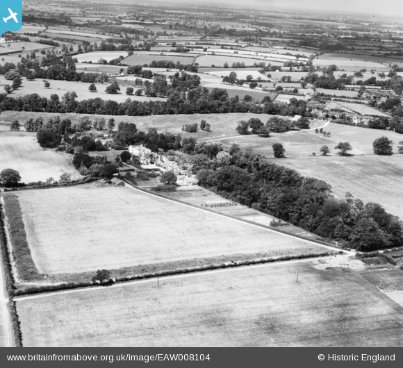
EAW008104 ENGLAND (1947). Thorpe Hall and environs, Thorpe-le-Soken, from the south-east, 1947
© Copyright OpenStreetMap contributors and licensed by the OpenStreetMap Foundation. 2026. Cartography is licensed as CC BY-SA.
Nearby Images (9)
EAW008104

EAW008103

EAW008096

EAW008097

EAW008101

EAW008100

EAW008099

EAW008102

EAW008098

Details
| Title | [EAW008104] Thorpe Hall and environs, Thorpe-le-Soken, from the south-east, 1947 |
| Reference | EAW008104 |
| Date | 12-July-1947 |
| Link | |
| Place name | THORPE-LE-SOKEN |
| Parish | THORPE-LE-SOKEN |
| District | |
| Country | ENGLAND |
| Easting / Northing | 618419, 221716 |
| Longitude / Latitude | 1.1717614966558, 51.850787745965 |
| National Grid Reference | TM184217 |
Pins

totoro |
Tuesday 27th of December 2016 12:52:04 PM | |
|
totoro |
Tuesday 27th of December 2016 12:51:23 PM | |
|
totoro |
Tuesday 27th of December 2016 12:50:57 PM |