
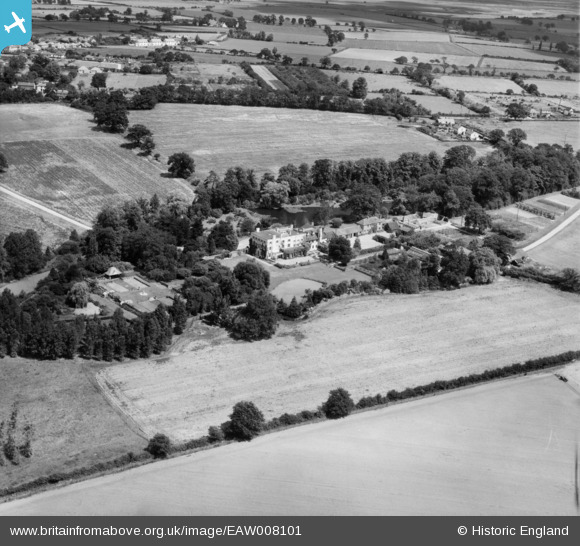
EAW008101 ENGLAND (1947). Thorpe Hall and environs, Thorpe-le-Soken, 1947
© Copyright OpenStreetMap contributors and licensed by the OpenStreetMap Foundation. 2026. Cartography is licensed as CC BY-SA.
Nearby Images (10)
EAW008101

EAW008099

EAW008102

EAW008097

EAW008096

EAW008098

EAW008100

EAW008105

EAW008103

EAW008104

Details
| Title | [EAW008101] Thorpe Hall and environs, Thorpe-le-Soken, 1947 |
| Reference | EAW008101 |
| Date | 12-July-1947 |
| Link | |
| Place name | THORPE-LE-SOKEN |
| Parish | THORPE-LE-SOKEN |
| District | |
| Country | ENGLAND |
| Easting / Northing | 618226, 221746 |
| Longitude / Latitude | 1.1689824217798, 51.851132570703 |
| National Grid Reference | TM182217 |
Pins

totoro |
Tuesday 27th of December 2016 12:09:38 PM | |
|
totoro |
Tuesday 27th of December 2016 12:09:02 PM | |
|
totoro |
Tuesday 27th of December 2016 12:07:19 PM | |
|
totoro |
Tuesday 27th of December 2016 12:06:14 PM | |
|
totoro |
Tuesday 27th of December 2016 12:03:34 PM | |
|
totoro |
Tuesday 27th of December 2016 12:03:02 PM | |
|
totoro |
Tuesday 27th of December 2016 12:02:33 PM | |
|
totoro |
Tuesday 27th of December 2016 12:02:12 PM |