
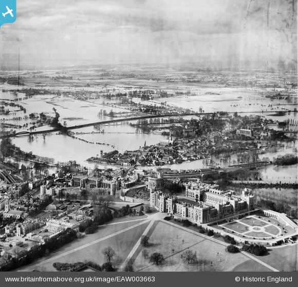
EAW003663 ENGLAND (1947). Flooding at Windsor and Eton, Windsor, from the south-east, 1947
© Copyright OpenStreetMap contributors and licensed by the OpenStreetMap Foundation. 2026. Cartography is licensed as CC BY-SA.
Nearby Images (45)
EAW003663

EPW005691

EPW005694

EPW034874

EPW053885

EAW004843

EPW034876

EPW056592

EPW046521

EAW052997

EAW004842

EPW056591

EPW012471

EAW026474

EAW053000

EAW004840

EPW053887

EAW004841

EAW042132

EPW046520

EPW046517

EPW053886

EPW034873

EPW022599

EPR000457

EPW012469

EPW046519

EPW046522

EPW022598

EAW021007

EPW005692

EPW022601

EAW004844

EPW012468

EPW001600

EAW003704

EPW022596

EAW003662

EAW003703

EAW003781

EPW005693

EPW022606

EPW046518

EAW003705

EAW026475

Details
| Title | [EAW003663] Flooding at Windsor and Eton, Windsor, from the south-east, 1947 |
| Reference | EAW003663 |
| Date | March-1947 |
| Link | |
| Place name | WINDSOR |
| Parish | |
| District | |
| Country | ENGLAND |
| Easting / Northing | 496974, 177037 |
| Longitude / Latitude | -0.60327654521652, 51.483477003449 |
| National Grid Reference | SU970770 |
Pins

Class31 |
Tuesday 8th of September 2015 04:54:39 PM |

User Comment Contributions
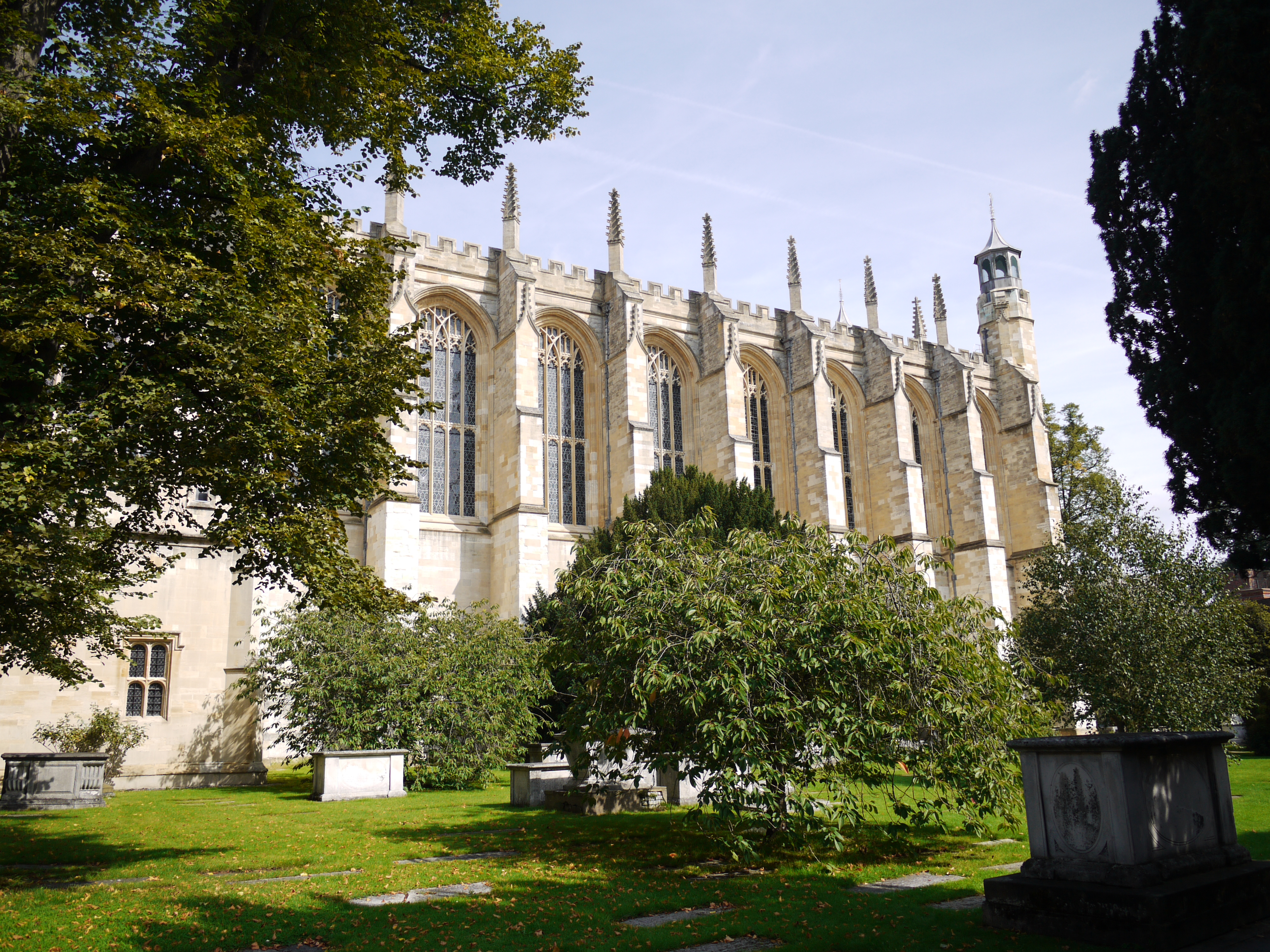
Eton College Chapel, 07/09/2015 |
Class31 |
Tuesday 8th of September 2015 04:23:34 PM |