
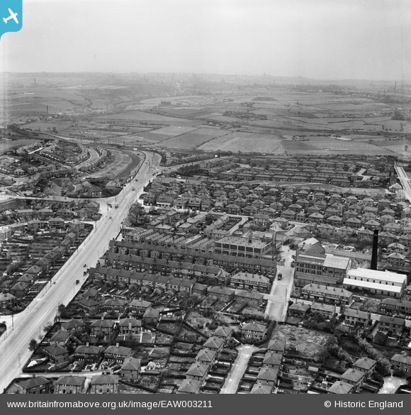
EAW003211 ENGLAND (1946). Dewsbury Road, Grove Hall Mills and environs, Beeston, from the north-east, 1946
© Copyright OpenStreetMap contributors and licensed by the OpenStreetMap Foundation. 2026. Cartography is licensed as CC BY-SA.
Nearby Images (17)
EAW003211

EAW003210

EAW002618

EAW002620

EAW003217

EAW003214

EAW003206

EAW002619

EAW003207

EAW003212

EAW003215

EAW003213

EAW003208

EAW002617

EAW003218

EAW003209

EAW003216

Details
| Title | [EAW003211] Dewsbury Road, Grove Hall Mills and environs, Beeston, from the north-east, 1946 |
| Reference | EAW003211 |
| Date | 18-October-1946 |
| Link | |
| Place name | BEESTON |
| Parish | |
| District | |
| Country | ENGLAND |
| Easting / Northing | 429025, 430049 |
| Longitude / Latitude | -1.5596295996072, 53.765761596854 |
| National Grid Reference | SE290300 |
Pins

redmist |
Monday 15th of November 2021 11:44:48 PM | |
|
redmist |
Tuesday 15th of October 2019 09:26:44 AM | |
|
rew |
Saturday 28th of July 2018 05:27:45 PM | |
|
rew |
Saturday 28th of July 2018 05:26:45 PM | |
|
rew |
Saturday 28th of July 2018 05:25:00 PM | |
|
John Wass |
Friday 28th of August 2015 03:08:17 PM |