
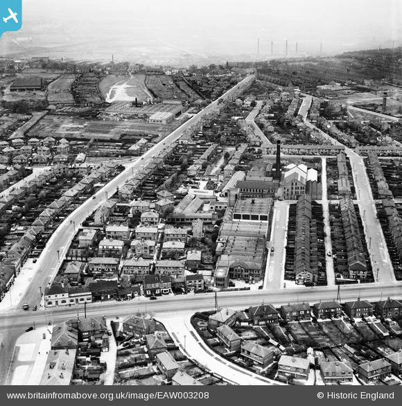
EAW003208 ENGLAND (1946). Old Lane, Grove Hall Mills and environs, Beeston, from the south-east, 1946
© Copyright OpenStreetMap contributors and licensed by the OpenStreetMap Foundation. 2026. Cartography is licensed as CC BY-SA.
Nearby Images (17)
EAW003208

EAW003214

EAW003217

EAW003215

EAW003210

EAW002618

EAW003212

EAW002617

EAW003211

EAW003207

EAW002620

EAW003213

EAW002619

EAW003206

EAW003218

EAW003209

EAW003216

Details
| Title | [EAW003208] Old Lane, Grove Hall Mills and environs, Beeston, from the south-east, 1946 |
| Reference | EAW003208 |
| Date | 18-October-1946 |
| Link | |
| Place name | BEESTON |
| Parish | |
| District | |
| Country | ENGLAND |
| Easting / Northing | 428975, 429988 |
| Longitude / Latitude | -1.5603939079328, 53.765216064195 |
| National Grid Reference | SE290300 |
Pins

redmist |
Monday 15th of November 2021 11:40:42 PM | |
|
redmist |
Monday 15th of November 2021 11:36:05 PM | |
|
redmist |
Monday 15th of November 2021 11:35:38 PM | |
|
alan |
Saturday 26th of September 2020 07:25:03 PM | |

Sparky |
Friday 15th of September 2017 08:24:25 AM | |
|
Sparky |
Friday 15th of September 2017 08:23:19 AM | |
|
gBr |
Thursday 15th of October 2015 01:42:14 PM | |
|
gBr |
Thursday 15th of October 2015 01:40:46 PM |