
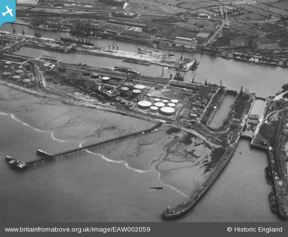
EAW002059 ENGLAND (1946). Avonmouth Docks, Avonmouth, 1946. This image has been produced from a print.
© Copyright OpenStreetMap contributors and licensed by the OpenStreetMap Foundation. 2026. Cartography is licensed as CC BY-SA.
Nearby Images (14)
EAW002059

EAW002060

EPW005491

EPR000059A

EPW005494

EAW002255

EPW005497

EPW005508

EPW005493

EPW005503

EPW005492

EPW005501

EPW005490

EPW005496

Details
| Title | [EAW002059] Avonmouth Docks, Avonmouth, 1946. This image has been produced from a print. |
| Reference | EAW002059 |
| Date | 31-July-1946 |
| Link | |
| Place name | AVONMOUTH |
| Parish | |
| District | |
| Country | ENGLAND |
| Easting / Northing | 350713, 179023 |
| Longitude / Latitude | -2.7102458440206, 51.507503187371 |
| National Grid Reference | ST507790 |
Pins

redmist |
Tuesday 10th of November 2020 11:13:04 PM | |
|
redmist |
Tuesday 10th of November 2020 11:12:18 PM | |
|
redmist |
Tuesday 10th of November 2020 11:11:40 PM | |

Sparky |
Tuesday 12th of September 2017 10:11:31 PM |