
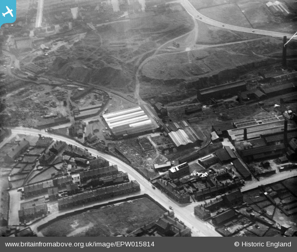
epw015814 ENGLAND (1926). The Bowling Iron Works, Bradford, 1926
© Hawlfraint cyfranwyr OpenStreetMap a thrwyddedwyd gan yr OpenStreetMap Foundation. 2026. Trwyddedir y gartograffeg fel CC BY-SA.
Delweddau cyfagos (6)
EPW015814

EPW015819

EPW015813

EPW015815

EPW015818

EPW015816

Manylion
| Pennawd | [EPW015814] The Bowling Iron Works, Bradford, 1926 |
| Cyfeirnod | EPW015814 |
| Dyddiad | 4-June-1926 |
| Dolen | |
| Enw lle | BRADFORD |
| Plwyf | |
| Ardal | |
| Gwlad | ENGLAND |
| Dwyreiniad / Gogleddiad | 417983, 432217 |
| Hydred / Lledred | -1.727030849325, 53.785747926346 |
| Cyfeirnod Grid Cenedlaethol | SE180322 |
Pinnau

Mickfly |
Wednesday 24th of February 2021 04:42:18 PM | |
|
Peter Turvey |
Friday 24th of April 2015 06:16:48 PM | |

Class31 |
Monday 15th of April 2013 09:35:43 AM | |
|
Class31 |
Monday 15th of April 2013 09:34:34 AM | |
|
Class31 |
Monday 15th of April 2013 09:33:20 AM | |
|
Class31 |
Monday 15th of April 2013 09:32:18 AM | |
|
Class31 |
Monday 15th of April 2013 09:30:21 AM | |
|
Class31 |
Monday 15th of April 2013 09:10:24 AM | |
|
Class31 |
Monday 15th of April 2013 09:09:48 AM | |
|
Class31 |
Monday 15th of April 2013 09:08:53 AM | |
|
Class31 |
Monday 15th of April 2013 09:07:46 AM | |
|
Class31 |
Monday 15th of April 2013 09:06:29 AM | |
|
Class31 |
Monday 15th of April 2013 09:06:07 AM |