
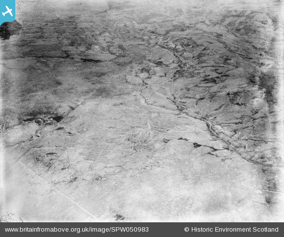
SPW050983 SCOTLAND (1936). Glenapp Estate. An oblique aerial photograph facing east.
© Hawlfraint cyfranwyr OpenStreetMap a thrwyddedwyd gan yr OpenStreetMap Foundation. 2026. Trwyddedir y gartograffeg fel CC BY-SA.
Manylion
| Pennawd | [SPW050983] Glenapp Estate. An oblique aerial photograph facing east. |
| Cyfeirnod | SPW050983 |
| Dyddiad | 1936 |
| Dolen | NRHE Collection item 1258050 |
| Enw lle | |
| Plwyf | INCH |
| Ardal | WIGTOWN |
| Gwlad | SCOTLAND |
| Dwyreiniad / Gogleddiad | 206380, 571250 |
| Hydred / Lledred | -5.0274263422101, 54.998028705087 |
| Cyfeirnod Grid Cenedlaethol | NX064713 |
Pinnau

Class31 |
Monday 23rd of July 2012 11:32:59 AM | |
|
Class31 |
Monday 23rd of July 2012 11:32:23 AM | |
|
Class31 |
Thursday 19th of July 2012 10:23:16 PM | |
|
Class31 |
Thursday 19th of July 2012 10:22:22 PM | |
|
Class31 |
Thursday 19th of July 2012 10:21:29 PM | |
|
Class31 |
Thursday 19th of July 2012 10:21:02 PM |
Cyfraniadau Grŵp
Dear Class 31, looking at Google Earth I can see that this area is now very heavily wooded under conifer plantation, but the distinctive staggered corner of wall stands out. Another correct identification! The revised record will appear here in due course. Brian Wilkinson Britain from Above Activity Officer (Scotland) |

Brian Wilkinson |
Thursday 30th of August 2012 04:45:13 PM |
View looking East over Laight Moor along the line of the Duckdubs Burn in the distance Galloway Burn is on the left. The stone walls helped identification with the long straight wall in the foreground and the unique staggered junction of walls on the right. Got it. |
Class31 |
Thursday 19th of July 2012 10:44:46 PM |