
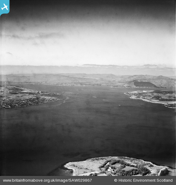
SAW029867 SCOTLAND (1950). Firth of Clyde, general view, showing Ardmore Point and Greenock. An oblique aerial photograph taken facing west.
© Hawlfraint cyfranwyr OpenStreetMap a thrwyddedwyd gan yr OpenStreetMap Foundation. 2026. Trwyddedir y gartograffeg fel CC BY-SA.
Manylion
| Pennawd | [SAW029867] Firth of Clyde, general view, showing Ardmore Point and Greenock. An oblique aerial photograph taken facing west. |
| Cyfeirnod | SAW029867 |
| Dyddiad | 1950 |
| Dolen | NRHE Collection item 1269514 |
| Enw lle | |
| Plwyf | MARITIME - ARGYLL AND BUTE |
| Ardal | MARITIME |
| Gwlad | SCOTLAND |
| Dwyreiniad / Gogleddiad | 229113, 679159 |
| Hydred / Lledred | -4.7388739867248, 55.974992199551 |
| Cyfeirnod Grid Cenedlaethol | NS291792 |
Pinnau

yes |
Thursday 12th of June 2025 07:52:17 AM | |
|
yes |
Thursday 12th of June 2025 07:51:08 AM | |
|
yes |
Thursday 12th of June 2025 07:47:12 AM | |
|
yes |
Thursday 12th of June 2025 07:46:16 AM |