
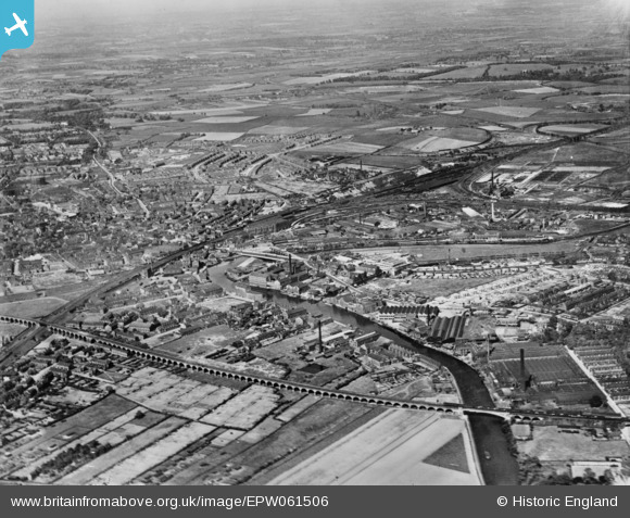
EPW061506 ENGLAND (1939). Belle Isle, Fall Ings and the railway network, Wakefield, from the south-west, 1939. This image has been produced from a copy-negative.
© Hawlfraint cyfranwyr OpenStreetMap a thrwyddedwyd gan yr OpenStreetMap Foundation. 2026. Trwyddedir y gartograffeg fel CC BY-SA.
Manylion
| Pennawd | [EPW061506] Belle Isle, Fall Ings and the railway network, Wakefield, from the south-west, 1939. This image has been produced from a copy-negative. |
| Cyfeirnod | EPW061506 |
| Dyddiad | 2-June-1939 |
| Dolen | |
| Enw lle | WAKEFIELD |
| Plwyf | |
| Ardal | |
| Gwlad | ENGLAND |
| Dwyreiniad / Gogleddiad | 433533, 419545 |
| Hydred / Lledred | -1.4923746876211, 53.671072736232 |
| Cyfeirnod Grid Cenedlaethol | SE335195 |
Pinnau

sirdouglas |
Monday 8th of August 2016 05:36:52 PM | |
|
sirdouglas |
Monday 8th of August 2016 05:36:02 PM | |
|
sirdouglas |
Monday 8th of August 2016 05:35:41 PM | |
|
sirdouglas |
Monday 8th of August 2016 05:35:39 PM | |
|
sirdouglas |
Tuesday 24th of March 2015 09:09:33 PM | |
|
sirdouglas |
Tuesday 24th of March 2015 09:09:05 PM | |
|
sirdouglas |
Tuesday 24th of March 2015 09:08:11 PM |