
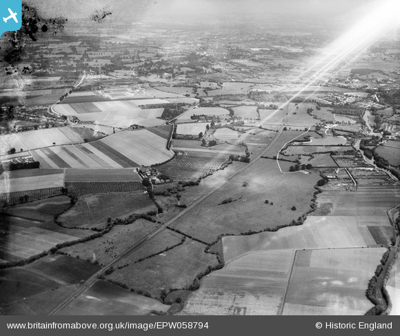
EPW058794 ENGLAND (1938). The Colne Valley, Poyle, from the south, 1938. This image has been produced from a damaged negative.
© Hawlfraint cyfranwyr OpenStreetMap a thrwyddedwyd gan yr OpenStreetMap Foundation. 2026. Trwyddedir y gartograffeg fel CC BY-SA.
Manylion
| Pennawd | [EPW058794] The Colne Valley, Poyle, from the south, 1938. This image has been produced from a damaged negative. |
| Cyfeirnod | EPW058794 |
| Dyddiad | 24-August-1938 |
| Dolen | |
| Enw lle | POYLE |
| Plwyf | COLNBROOK WITH POYLE |
| Ardal | |
| Gwlad | ENGLAND |
| Dwyreiniad / Gogleddiad | 504526, 178141 |
| Hydred / Lledred | -0.49421653743823, 51.492055739816 |
| Cyfeirnod Grid Cenedlaethol | TQ045781 |
Pinnau

Class31 |
Tuesday 13th of August 2013 05:00:36 PM | |
|
Class31 |
Tuesday 13th of August 2013 04:59:44 PM | |
|
Class31 |
Tuesday 13th of August 2013 04:59:04 PM | |
|
Class31 |
Tuesday 13th of August 2013 04:57:45 PM | |
|
Class31 |
Tuesday 13th of August 2013 04:56:54 PM | |
|
Class31 |
Tuesday 13th of August 2013 04:55:42 PM | |
|
Class31 |
Tuesday 13th of August 2013 04:54:31 PM | |
|
Class31 |
Tuesday 13th of August 2013 04:53:47 PM | |
|
Class31 |
Tuesday 13th of August 2013 04:52:14 PM |
Cyfraniadau Grŵp
See EPW059363 which covers much the same area. |
Class31 |
Tuesday 13th of August 2013 05:03:33 PM |