
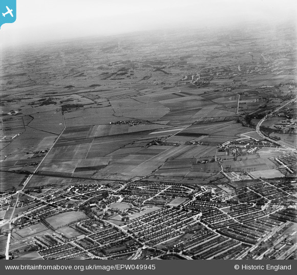
EPW049945 ENGLAND (1936). Countryside to the east of Barkingside Station, Aldborough Hatch, from the west, 1936
© Hawlfraint cyfranwyr OpenStreetMap a thrwyddedwyd gan yr OpenStreetMap Foundation. 2026. Trwyddedir y gartograffeg fel CC BY-SA.
Manylion
| Pennawd | [EPW049945] Countryside to the east of Barkingside Station, Aldborough Hatch, from the west, 1936 |
| Cyfeirnod | EPW049945 |
| Dyddiad | April-1936 |
| Dolen | |
| Enw lle | ALDBOROUGH HATCH |
| Plwyf | |
| Ardal | |
| Gwlad | ENGLAND |
| Dwyreiniad / Gogleddiad | 545078, 189700 |
| Hydred / Lledred | 0.094372884157692, 51.586978773306 |
| Cyfeirnod Grid Cenedlaethol | TQ451897 |
Pinnau

craig |
Wednesday 15th of May 2019 10:54:57 AM | |
|
craig |
Wednesday 15th of May 2019 10:54:37 AM | |
|
Nowy Paul |
Sunday 9th of December 2018 04:31:44 PM | |
|
brian |
Friday 5th of December 2014 02:23:47 PM | |
|
brian |
Friday 5th of December 2014 02:21:19 PM | |
|
brian |
Tuesday 25th of November 2014 01:21:22 PM | |
 |
Henry J Foxwood |
Friday 25th of July 2014 03:29:43 PM |
|
Andy |
Friday 6th of June 2014 05:34:33 PM | |
|
Andy |
Friday 6th of June 2014 05:33:57 PM | |
|
mardell8 |
Sunday 4th of May 2014 02:58:39 AM |
Cyfraniadau Grŵp
I wonder if anyone could have predicted way back then how the area would go downhill like it has now. |
Jenny Karling |
Monday 30th of September 2013 05:35:54 PM |