
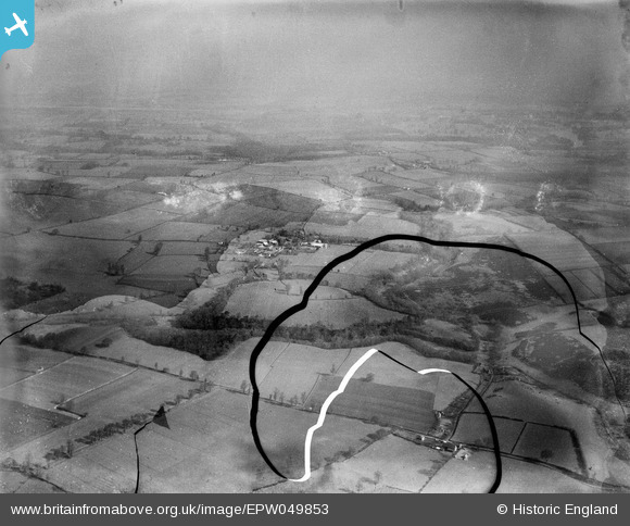
EPW049853 ENGLAND (1936). The Walls hillfort, Walls Coppice and surrounding countryside, Chesterton, from the south, 1936. This image has been produced from a damaged negative.
© Hawlfraint cyfranwyr OpenStreetMap a thrwyddedwyd gan yr OpenStreetMap Foundation. 2026. Trwyddedir y gartograffeg fel CC BY-SA.
Manylion
| Pennawd | [EPW049853] The Walls hillfort, Walls Coppice and surrounding countryside, Chesterton, from the south, 1936. This image has been produced from a damaged negative. |
| Cyfeirnod | EPW049853 |
| Dyddiad | April-1936 |
| Dolen | |
| Enw lle | CHESTERTON |
| Plwyf | WORFIELD |
| Ardal | |
| Gwlad | ENGLAND |
| Dwyreiniad / Gogleddiad | 378629, 296585 |
| Hydred / Lledred | -2.3153261204337, 52.566313683009 |
| Cyfeirnod Grid Cenedlaethol | SO786966 |
Pinnau
Byddwch y cyntaf i ychwanegu sylw at y ddelwedd hon!