
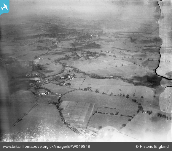
EPW049848 ENGLAND (1936). Countryside east of Bridgnorth, Hilton, from the east, 1936. This image has been produced from a damaged negative.
© Hawlfraint cyfranwyr OpenStreetMap a thrwyddedwyd gan yr OpenStreetMap Foundation. 2026. Trwyddedir y gartograffeg fel CC BY-SA.
Manylion
| Pennawd | [EPW049848] Countryside east of Bridgnorth, Hilton, from the east, 1936. This image has been produced from a damaged negative. |
| Cyfeirnod | EPW049848 |
| Dyddiad | April-1936 |
| Dolen | |
| Enw lle | HILTON |
| Plwyf | WORFIELD |
| Ardal | |
| Gwlad | ENGLAND |
| Dwyreiniad / Gogleddiad | 378215, 295704 |
| Hydred / Lledred | -2.3213766357354, 52.558376416599 |
| Cyfeirnod Grid Cenedlaethol | SO782957 |
Pinnau

Dylan Moore |
Saturday 4th of May 2013 08:45:00 PM | |
|
Dylan Moore |
Saturday 4th of May 2013 08:44:25 PM | |
|
Dylan Moore |
Saturday 4th of May 2013 08:43:59 PM | |
|
Dylan Moore |
Saturday 4th of May 2013 08:41:44 PM | |
|
Dylan Moore |
Saturday 4th of May 2013 08:40:23 PM | |
|
Dylan Moore |
Saturday 4th of May 2013 08:39:54 PM |
Cyfraniadau Grŵp
Hi Dylan, Thanks for resolving this one. You may be interested to know that the original Aerofilms Ltd Register entry says "Four sites in Salop for Hall, Steavenson & Thole [sic]". We'll update the catalogue and post the new record here in due course. Yours, Katy Britain from Above Cataloguing Team Leader |
Katy Whitaker |
Tuesday 2nd of July 2013 04:26:48 PM |