
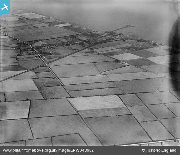
EPW048932 ENGLAND (1935). New Holland Pier, the village and surrounding countryside, New Holland, 1935. This image has been produced from a damaged negative.
© Hawlfraint cyfranwyr OpenStreetMap a thrwyddedwyd gan yr OpenStreetMap Foundation. 2026. Trwyddedir y gartograffeg fel CC BY-SA.
Manylion
| Pennawd | [EPW048932] New Holland Pier, the village and surrounding countryside, New Holland, 1935. This image has been produced from a damaged negative. |
| Cyfeirnod | EPW048932 |
| Dyddiad | August-1935 |
| Dolen | |
| Enw lle | NEW HOLLAND |
| Plwyf | NEW HOLLAND |
| Ardal | |
| Gwlad | ENGLAND |
| Dwyreiniad / Gogleddiad | 509137, 423575 |
| Hydred / Lledred | -0.34679933319043, 53.696967279498 |
| Cyfeirnod Grid Cenedlaethol | TA091236 |
Pinnau
Byddwch y cyntaf i ychwanegu sylw at y ddelwedd hon!