
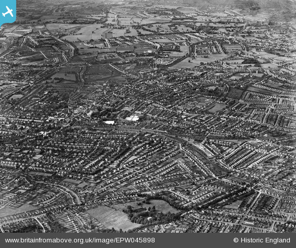
EPW045898 ENGLAND (1934). The town and environs, Sutton, from the south-east, 1934
© Hawlfraint cyfranwyr OpenStreetMap a thrwyddedwyd gan yr OpenStreetMap Foundation. 2026. Trwyddedir y gartograffeg fel CC BY-SA.
Manylion
| Pennawd | [EPW045898] The town and environs, Sutton, from the south-east, 1934 |
| Cyfeirnod | EPW045898 |
| Dyddiad | August-1934 |
| Dolen | |
| Enw lle | SUTTON |
| Plwyf | |
| Ardal | |
| Gwlad | ENGLAND |
| Dwyreiniad / Gogleddiad | 526908, 163407 |
| Hydred / Lledred | -0.17722354946272, 51.355044297598 |
| Cyfeirnod Grid Cenedlaethol | TQ269634 |
Pinnau

christhewino |
Thursday 7th of February 2019 06:31:16 PM |