
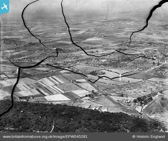
EPW045281 ENGLAND (1934). Beeston Park Side and the residential area alongside Dewsbury Road, Beeston, from the east, 1934. This image has been produced from a damaged negative.
© Hawlfraint cyfranwyr OpenStreetMap a thrwyddedwyd gan yr OpenStreetMap Foundation. 2026. Trwyddedir y gartograffeg fel CC BY-SA.
Manylion
| Pennawd | [EPW045281] Beeston Park Side and the residential area alongside Dewsbury Road, Beeston, from the east, 1934. This image has been produced from a damaged negative. |
| Cyfeirnod | EPW045281 |
| Dyddiad | July-1934 |
| Dolen | |
| Enw lle | BEESTON |
| Plwyf | |
| Ardal | |
| Gwlad | ENGLAND |
| Dwyreiniad / Gogleddiad | 429548, 429649 |
| Hydred / Lledred | -1.5517331498861, 53.76213667338 |
| Cyfeirnod Grid Cenedlaethol | SE295296 |
Pinnau

Mick S |
Wednesday 2nd of August 2023 11:45:02 AM | |
|
Mick S |
Wednesday 2nd of August 2023 11:42:14 AM | |
|
trevorsboy |
Thursday 13th of October 2016 06:08:54 PM |