
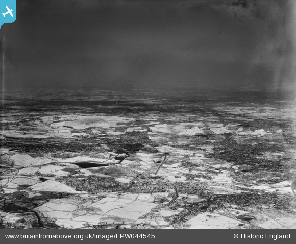
EPW044545 ENGLAND (1934). An experimental infrared photograph of Primrose Hill and Darby End, Mushroom Green, from the south-west, 1934
© Hawlfraint cyfranwyr OpenStreetMap a thrwyddedwyd gan yr OpenStreetMap Foundation. 2026. Trwyddedir y gartograffeg fel CC BY-SA.
Manylion
| Pennawd | [EPW044545] An experimental infrared photograph of Primrose Hill and Darby End, Mushroom Green, from the south-west, 1934 |
| Cyfeirnod | EPW044545 |
| Dyddiad | May-1934 |
| Dolen | |
| Enw lle | MUSHROOM GREEN |
| Plwyf | |
| Ardal | |
| Gwlad | ENGLAND |
| Dwyreiniad / Gogleddiad | 393590, 286822 |
| Hydred / Lledred | -2.0943910296731, 52.478917304349 |
| Cyfeirnod Grid Cenedlaethol | SO936868 |
Pinnau

Steve |
Thursday 29th of January 2026 03:59:37 PM | |

Brianac37 |
Monday 28th of October 2019 11:34:38 AM | |
|
Brianac37 |
Monday 28th of October 2019 11:33:33 AM | |
|
Brianac37 |
Monday 28th of October 2019 11:31:47 AM | |
|
Brianac37 |
Monday 28th of October 2019 11:30:33 AM | |
|
Brianac37 |
Monday 28th of October 2019 11:29:14 AM | |

black country history hunter |
Thursday 10th of September 2015 10:46:17 PM | |
|
black country history hunter |
Thursday 10th of September 2015 10:26:06 PM | |
|
black country history hunter |
Thursday 10th of September 2015 10:25:36 PM | |
|
black country history hunter |
Thursday 10th of September 2015 10:24:18 PM | |
|
black country history hunter |
Thursday 10th of September 2015 10:21:55 PM | |
|
black country history hunter |
Thursday 10th of September 2015 10:17:10 PM | |
|
black country history hunter |
Thursday 10th of September 2015 10:14:38 PM | |
|
black country history hunter |
Thursday 10th of September 2015 10:14:34 PM |