
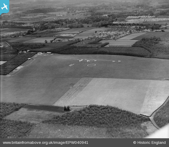
EPW040941 ENGLAND (1933). Maidstone Airport and surrounding countryside, Kings Hill, 1933
© Hawlfraint cyfranwyr OpenStreetMap a thrwyddedwyd gan yr OpenStreetMap Foundation. 2026. Trwyddedir y gartograffeg fel CC BY-SA.
Manylion
| Pennawd | [EPW040941] Maidstone Airport and surrounding countryside, Kings Hill, 1933 |
| Cyfeirnod | EPW040941 |
| Dyddiad | April-1933 |
| Dolen | |
| Enw lle | KINGS HILL |
| Plwyf | KINGS HILL |
| Ardal | |
| Gwlad | ENGLAND |
| Dwyreiniad / Gogleddiad | 567918, 155717 |
| Hydred / Lledred | 0.40768950022368, 51.275311148371 |
| Cyfeirnod Grid Cenedlaethol | TQ679557 |
Pinnau

clippedwings |
Friday 27th of February 2015 10:23:13 PM |