
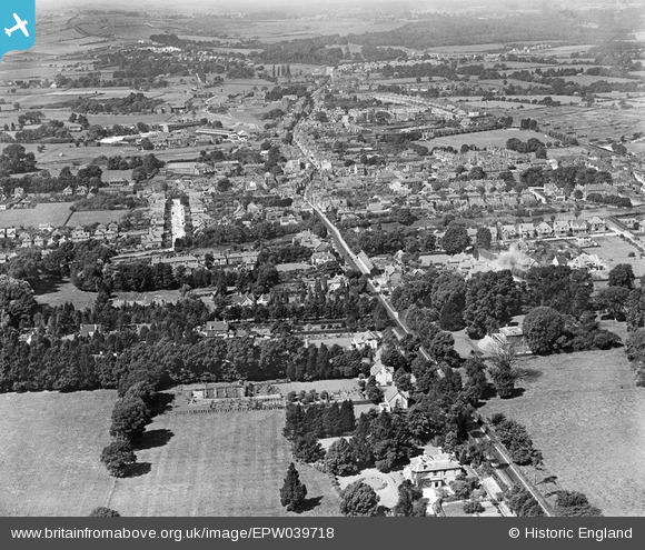
EPW039718 ENGLAND (1932). The town and surrounding countryside, Havant, from the south-east, 1932
© Hawlfraint cyfranwyr OpenStreetMap a thrwyddedwyd gan yr OpenStreetMap Foundation. 2026. Trwyddedir y gartograffeg fel CC BY-SA.
Manylion
| Pennawd | [EPW039718] The town and surrounding countryside, Havant, from the south-east, 1932 |
| Cyfeirnod | EPW039718 |
| Dyddiad | August-1932 |
| Dolen | |
| Enw lle | HAVANT |
| Plwyf | |
| Ardal | |
| Gwlad | ENGLAND |
| Dwyreiniad / Gogleddiad | 472348, 106084 |
| Hydred / Lledred | -0.97217362712388, 50.849187091864 |
| Cyfeirnod Grid Cenedlaethol | SU723061 |
Pinnau
Byddwch y cyntaf i ychwanegu sylw at y ddelwedd hon!