
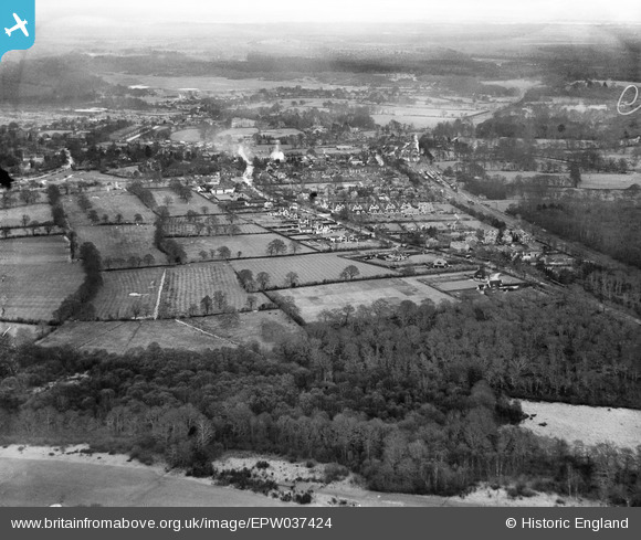
EPW037424 ENGLAND. Colliers Copse and Sway Road, Brockenhurst, from the south-west, 1932
© Hawlfraint cyfranwyr OpenStreetMap a thrwyddedwyd gan yr OpenStreetMap Foundation. 2026. Trwyddedir y gartograffeg fel CC BY-SA.
Manylion
| Pennawd | [EPW037424] Colliers Copse and Sway Road, Brockenhurst, from the south-west, 1932 |
| Cyfeirnod | EPW037424 |
| Dyddiad | |
| Dolen | |
| Enw lle | BROCKENHURST |
| Plwyf | BROCKENHURST |
| Ardal | |
| Gwlad | ENGLAND |
| Dwyreiniad / Gogleddiad | 429418, 101183 |
| Hydred / Lledred | -1.58243073244, 50.808888583156 |
| Cyfeirnod Grid Cenedlaethol | SU294012 |
Pinnau

Class31 |
Monday 10th of December 2012 03:41:56 PM | |
|
Class31 |
Monday 10th of December 2012 03:39:39 PM | |
|
Class31 |
Monday 10th of December 2012 03:38:20 PM | |
|
Class31 |
Monday 10th of December 2012 03:37:37 PM | |
|
Class31 |
Monday 10th of December 2012 03:35:34 PM |
Cyfraniadau Grŵp
The field boundaries fit, everything fits for Brockenhurst. |
Class31 |
Wednesday 2nd of January 2013 03:10:43 PM |
I agree, thanks for sorting this one out and its neighbours! In the original Aerofilms Register, plates 37424, -5 and -6 are recorded as "cancelled", referring to our EPW037424, EPW037425 and EPW037426. We'll get them updated and post the new data here in due course. Yours, Katy Britain from Above Cataloguing Team Leader |
Katy Whitaker |
Wednesday 2nd of January 2013 03:10:43 PM |
Brockenhurst from the south west. |
Class31 |
Monday 10th of December 2012 03:36:46 PM |
Eureka |
Class31 |
Monday 10th of December 2012 03:34:37 PM |